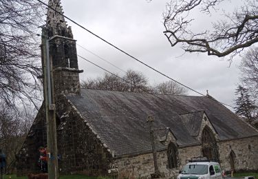
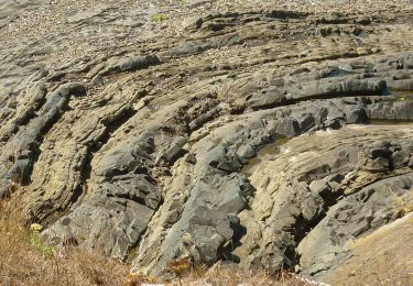
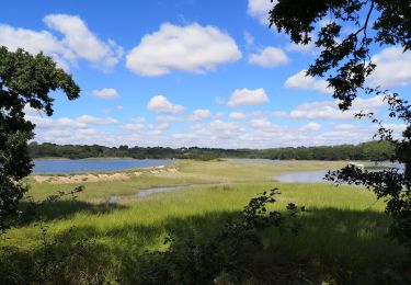
11,4 km | 14,8 km-effort
LOPERHET
RonanDAGORN
Utente
Lunghezza
14,3 km
Altitudine massima
52 m
Dislivello positivo
186 m
Km-Effort
16,8 km
Altitudine minima
1 m
Dislivello negativo
184 m
Boucle
Sì
Data di creazione :
2022-08-07 11:33:13.639
Ultima modifica :
2022-08-07 17:12:47.665
3h33
Difficoltà : Medio
Applicazione GPS da escursionismo GRATUITA
Chi siamo
Percorso Marcia di 14,3 km da scoprire a Bretagna, Finistère, Plougastel-Daoulas. Questo percorso è proposto da RonanDAGORN.
Descrizione
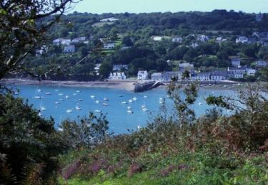
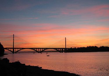
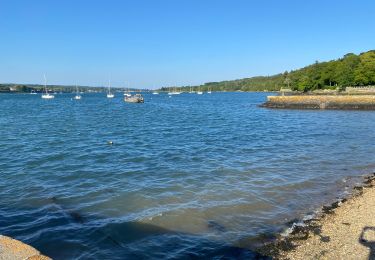
La pointe de Rostiviec à Loperhet depuis Pont Callec (PLOUGASTEL-DAOULAS)
Environ 4h30 dont 3h33 de marché effective
Localizzazione
Paese:
France
Regione :
Bretagna
Dipartimento/Provincia :
Finistère
Comune :
Plougastel-Daoulas
Località :
Unknown
Partenza:(Dec)
Partenza:(UTM)
400722 ; 5357007 (30U) N.
Commenti
Percorsi nelle vicinanze
Tour du passage par la chapelle St Jean
Marcia
Medio
(2)
Plougastel-Daoulas,
Bretagna,
Finistère,
France
3h 4min
Sì
Le Tour de Plougastel par Daoulas
Mountainbike
Difficile
(1)
Le Relecq-Kerhuon,
Bretagna,
Finistère,
France
49 km | 61 km-effort
3h 30min
Sì
De Brest à Landerneau le long de l'Elorn
Marcia
Difficile
(1)
Le Relecq-Kerhuon,
Bretagna,
Finistère,
France
21 km | 25 km-effort
5h 0min
No
Course Plougastel
Corsa a piedi
Facile
Plougastel-Daoulas,
Bretagna,
Finistère,
France
8,4 km | 11,1 km-effort
1h 6min
Sì
circuit des chapelles à Plougastel
Marcia
Medio
Plougastel-Daoulas,
Bretagna,
Finistère,
France
24 km | 30 km-effort
5h 37min
Sì
Sentier Côtier
A piedi
Facile
Logonna-Daoulas,
Bretagna,
Finistère,
France
9,7 km | 11,6 km-effort
2h 38min
No
Circuit de l'anse de Pen Foul. Logona. 06/07/20
Marcia
Molto facile
(1)
Logonna-Daoulas,
Bretagna,
Finistère,
France
5,6 km | 7 km-effort
1h 33min
No
Kerouant
Marcia
Molto facile
(1)
Dirinon,
Bretagna,
Finistère,
France
9,7 km | 11,4 km-effort
3h 20min
Sì