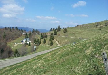
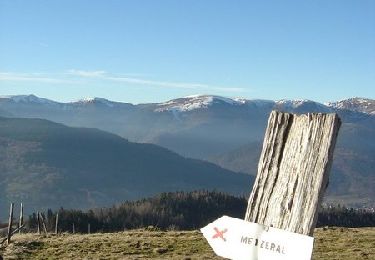
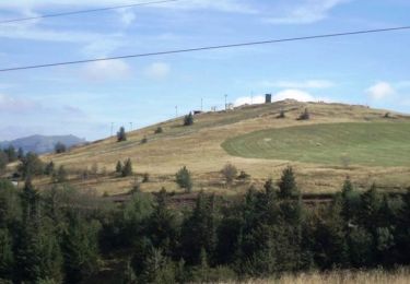
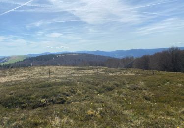
Percorso A piedi Linthal - Lac de la Lauch- Mittlach - Hannenbrunen  - Photo

Lac de la Lauch- Mittlach - Hannenbrunen

 Alain28/01
Alain28/01

Utente

© OpenStreetMap contributors
Lunghezza
Lunghezza
21 km
Altitudine massima
Altitudine massima
1265 m
Dislivello positivo
Dislivello positivo
1107 m
Km-Effort
Km-Effort  
36 km
Altitudine minima
Altitudine minima
656 m
Dislivello negativo
Dislivello negativo
1094 m
Boucle
Boucle
Sì
Data di creazione :
2022-07-23 12:05:18.161
Ultima modifica :
2022-07-23 12:09:09.275

(0 Recensione)

A piedi
A piedi
8h07
Difficoltà : Difficile

Scannerizza questo codice QR per aprire il percorso nell'applicazione SityTrail

Applicazione GPS da escursionismo GRATUITA

Logo SityTrail SityTrail

IGN / Istituti geografici

Scarica SityTrail dall'App Store Scarica SityTrail da Google Play

Logo SityTrail SityTrail World

Il mondo è tuo

Scarica SityTrail dall'App Store Scarica SityTrail da Google Play Scarica SityTrail da Huawei AppGallery

Chi siamo

Percorso A piedi di 21 km da scoprire a Grande Est, Haut-Rhin, Linthal. Questo percorso è proposto da Alain28/01.

Profilo altimetrico

Localizzazione

Paese:
France
Regione :
Grande Est
Dipartimento/Provincia :
Haut-Rhin
Comune :
Linthal
Località :
Unknown
Partenza:(UTM)
354054 ; 5311017 (32T) N.

Percorsi nelle vicinanze

Percorso Marcia Linthal - Markstein - Photo
Marcia
VacheKiri67

Marcia

Medio
(3)
Linthal, Grande Est, Haut-Rhin, France
14 km | 19,8 km-effort
4h 45min
Sì
Percorso Marcia Linthal - Tour de la grande Vallée de Munster (refuge du Hilsen - Munster) - Photo
Marcia
tracegps

Marcia

Difficile
(1)
Linthal, Grande Est, Haut-Rhin, France
18,1 km | 24 km-effort
5h 0min
No
Percorso Marcia Lautenbachzell - Le Markstein - Photo
Marcia
tracegps

Marcia

Difficile
(1)
Lautenbachzell, Grande Est, Haut-Rhin, France
22 km | 35 km-effort
6h 0min
Sì
Percorso Marcia Linthal - SityTrail - Remspach-Hilsen - Photo
Marcia

Marcia

Medio
(1)
Linthal, Grande Est, Haut-Rhin, France
9,9 km | 14,6 km-effort
3h 3min
Sì
Percorso A piedi Lautenbachzell - Parking Bellevue - Hundsrucken - Markstein - Photo
A piedi
patrickbeyrath

A piedi

Medio
(1)
Lautenbachzell, Grande Est, Haut-Rhin, France
9,4 km | 13 km-effort
Sconosciuto
Sì
Percorso Mountainbike Metzeral - Breitfirst - Petit Ballon - Col de Firstplan - Wintzenheim - Photo
Mountainbike
sit68000

Mountainbike

Medio
(1)
Metzeral, Grande Est, Haut-Rhin, France
38 km | 52 km-effort
3h 11min
No
Percorso Marcia Metzeral - 24 04 14 autour d’Uffrain - Photo
Marcia
jmbilger

Marcia

Metzeral, Grande Est, Haut-Rhin, France
70 km | 83 km-effort
3h 45min
No
Percorso Marcia Soultz-Haut-Rhin - Mon tour des Vosges (4 jours) - Photo
Marcia
annefrance70

Marcia

Molto difficile
Soultz-Haut-Rhin, Grande Est, Haut-Rhin, France
71 km | 113 km-effort
25h 38min
Sì
Percorso Marcia Ranspach - Rando des Marcheurs 20/07/2023 - Photo
Marcia
boubou68

Marcia

Molto difficile
Ranspach, Grande Est, Haut-Rhin, France
23 km | 38 km-effort
5h 31min
Sì


Chiudi
I miei abbonamenti