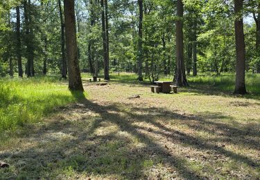
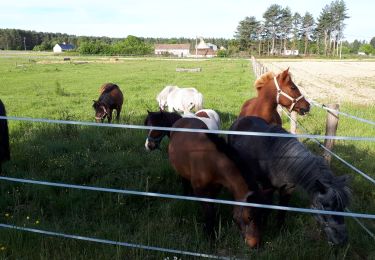
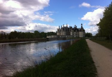
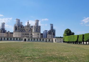
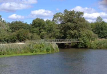
3,8 km | 4,5 km-effort
chamb. marche
jean-luc.martin
Utente
Lunghezza
24 km
Altitudine massima
108 m
Dislivello positivo
185 m
Km-Effort
26 km
Altitudine minima
70 m
Dislivello negativo
176 m
Boucle
No
Data di creazione :
2022-04-26 11:55:04.695
Ultima modifica :
2022-04-26 14:31:27.292
2h35
Difficoltà : Molto facile
Applicazione GPS da escursionismo GRATUITA
Chi siamo
Percorso Marcia di 24 km da scoprire a Centro, Loir-et-Cher, Chambord. Questo percorso è proposto da jean-luc.martin.
Descrizione
marche
Localizzazione
Paese:
France
Regione :
Centro
Dipartimento/Provincia :
Loir-et-Cher
Comune :
Chambord
Località :
Unknown
Partenza:(Dec)
Partenza:(UTM)
389983 ; 5274848 (31T) N.
Commenti
Percorsi nelle vicinanze
Parc de Chambord et ses postes d'observation
Marcia
Facile
(1)
Chambord,
Centro,
Loir-et-Cher,
France
20 km | 22 km-effort
5h 3min
Sì
petite marche 6 km dans chambord
A piedi
Facile
(1)
Chambord,
Centro,
Loir-et-Cher,
France
6,1 km | 6,9 km-effort
1h 33min
Sì
Thoury 2019
Marcia
Molto facile
(1)
Thoury,
Centro,
Loir-et-Cher,
France
14,5 km | 16,2 km-effort
2h 42min
Sì
chambord-cheverny
Mountainbike
Facile
(1)
Chambord,
Centro,
Loir-et-Cher,
France
23 km | 25 km-effort
1h 41min
No
Domaine de Chambord
Marcia
Facile
(1)
Huisseau-sur-Cosson,
Centro,
Loir-et-Cher,
France
59 km | 65 km-effort
4h 39min
No
saint dyé
Marcia
Facile
Saint-Dyé-sur-Loire,
Centro,
Loir-et-Cher,
France
2,4 km | 2,7 km-effort
2h 10min
Sì
Chambord-Rond point François 1°
Marcia
Molto facile
Chambord,
Centro,
Loir-et-Cher,
France
8,7 km | 9,7 km-effort
1h 55min
Sì