20 km | 28 km-effort
le Tholy
lacote
Utente
Lunghezza
11,6 km
Altitudine massima
756 m
Dislivello positivo
388 m
Km-Effort
16,7 km
Altitudine minima
537 m
Dislivello negativo
389 m
Boucle
Sì
Data di creazione :
2022-03-29 11:50:36.13
Ultima modifica :
2022-03-29 16:51:02.771
3h48
Difficoltà : Difficile
Applicazione GPS da escursionismo GRATUITA
Chi siamo
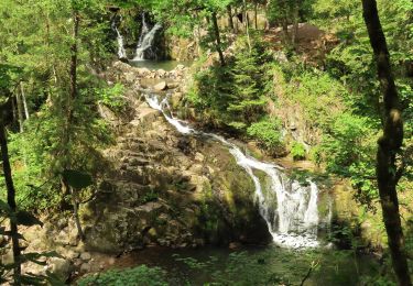
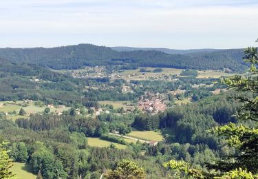
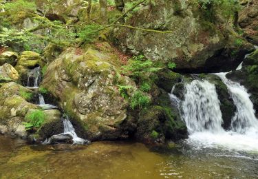
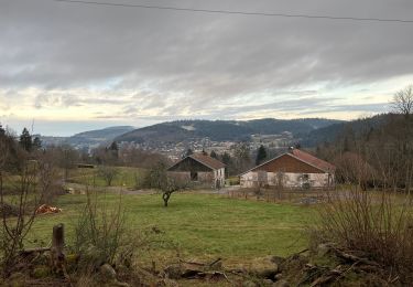
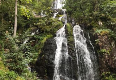
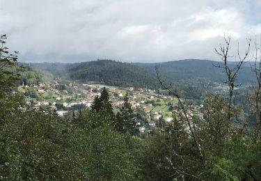
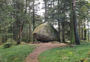
Percorso Marcia di 11,6 km da scoprire a Grande Est, Vosges, Le Tholy. Questo percorso è proposto da lacote.
Localizzazione
Paese:
France
Regione :
Grande Est
Dipartimento/Provincia :
Vosges
Comune :
Le Tholy
Località :
Unknown
Partenza:(Dec)
Partenza:(UTM)
331098 ; 5328517 (32U) N.
Commenti
Percorsi nelle vicinanze
Cascades de Tendon - Trou de l'Enfer - Roches de la Moulure
Marcia
Medio
(4)
Tendon,
Grande Est,
Vosges,
France
5h 33min
Sì
2022-06-03 Rando CVA Le Tholy Gerbamont
Equitazione
Molto difficile
Le Tholy,
Grande Est,
Vosges,
France
28 km | 41 km-effort
6h 25min
No
2022-06-02 Rando CVA Le Tholy Tête des Cuveaux
Equitazione
Difficile
Le Tholy,
Grande Est,
Vosges,
France
28 km | 40 km-effort
5h 19min
Sì
2022-06-01 Rando CVA Le Tholy Boucle Cascades du Tendon
Equitazione
Difficile
Le Tholy,
Grande Est,
Vosges,
France
24 km | 34 km-effort
5h 16min
Sì
La grande cascade du Tendon au départ du Grand Caillou.
Marcia
Difficile
Le Tholy,
Grande Est,
Vosges,
France
9 km | 12,2 km-effort
2h 46min
Sì
La roche des corbeaux, La Forge
Marcia
Medio
La Forge,
Grande Est,
Vosges,
France
7,8 km | 11,2 km-effort
2h 33min
Sì
Le trou de l'enfer
Marcia
Medio
Le Tholy,
Grande Est,
Vosges,
France
10,2 km | 14,2 km-effort
2h 48min
Sì
Circuit Cleurie / ST Amé - le Fossard
Marcia
Facile
Cleurie,
Grande Est,
Vosges,
France
14,1 km | 18,5 km-effort
3h 16min
Sì