


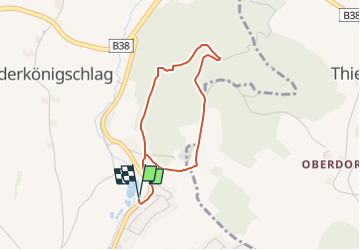

6,8 km | 8,9 km-effort


Tous les sentiers balisés d’Europe GUIDE+


Applicazione GPS da escursionismo GRATUITA
 SityTrail
IGN / Istituti geografici
SityTrail World
Il mondo è tuo
Percorso A piedi di 3,1 km da scoprire a Oberösterreich, Bezirk Urfahr-Umgebung, Schenkenfelden. Questo percorso è proposto da SityTrail - itinéraires balisés pédestres.
Trail created by Verein Lebenswertes Schenkenfelden.
Symbol: Weißer Zwerg auf grünem Grund


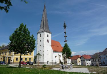
A piedi
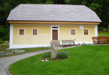
A piedi
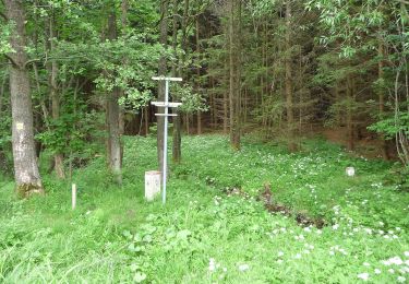
A piedi

A piedi
A piedi

A piedi
A piedi
A piedi
A piedi