


5,7 km | 7 km-effort

Tous les sentiers balisés d’Europe GUIDE+


Applicazione GPS da escursionismo GRATUITA
 SityTrail
IGN / Istituti geografici
SityTrail World
Il mondo è tuo
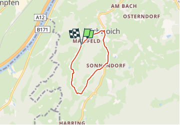
Percorso A piedi di 4,3 km da scoprire a Tirolo, Bezirk Kufstein, Gemeinde Schwoich. Questo percorso è proposto da SityTrail - itinéraires balisés pédestres.
Trail created by Kufsteinerland.
Symbol: Gelbe Schilder mit weißem Richtungspfeil und violettem Streifen mit dem Namen "Schmieder Runde"


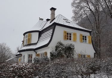
A piedi
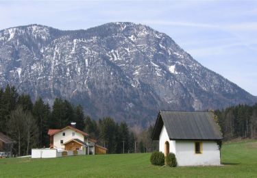
A piedi
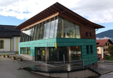
A piedi
A piedi
A piedi
A piedi

A piedi
A piedi
A piedi