


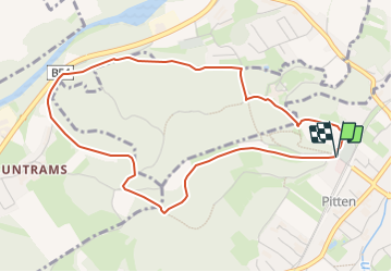

15,4 km | 23 km-effort

Tous les sentiers balisés d’Europe GUIDE+


Applicazione GPS da escursionismo GRATUITA
 SityTrail
IGN / Istituti geografici
SityTrail World
Il mondo è tuo
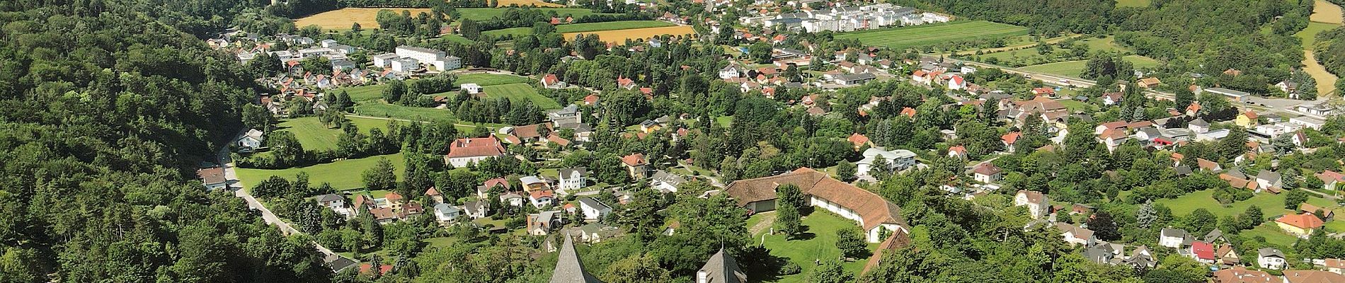
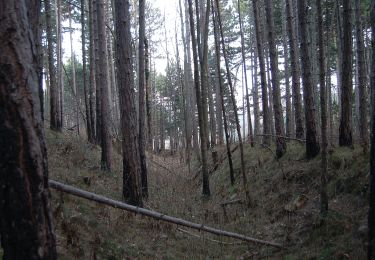
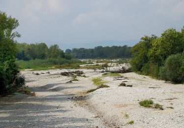
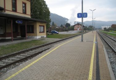
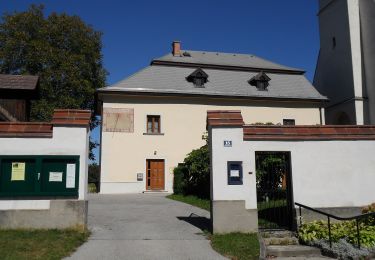
Percorso A piedi di 4,7 km da scoprire a Bassa Austria, Bezirk Neunkirchen, Gemeinde Pitten. Questo percorso è proposto da SityTrail - itinéraires balisés pédestres.
Trail created by www.runnersfun.com.
Symbol: Weiße Tafel mit gelbem Pfeil


A piedi
A piedi
A piedi
A piedi

A piedi
A piedi

A piedi

A piedi

A piedi