

IT-106
SityTrail - itinéraires balisés pédestres
Tous les sentiers balisés d’Europe GUIDE+

Lunghezza
3,7 km

Altitudine massima
1398 m

Dislivello positivo
268 m

Km-Effort
6,8 km

Altitudine minima
1135 m

Dislivello negativo
110 m
Boucle
No
Tag
Data di creazione :
2022-02-15 17:54:34.166
Ultima modifica :
2022-03-01 22:10:30.201
1h32
Difficoltà : Facile

Applicazione GPS da escursionismo GRATUITA
Chi siamo
Percorso A piedi di 3,7 km da scoprire a Emilia-Romagna, Forlì-Cesena, Verghereto. Questo percorso è proposto da SityTrail - itinéraires balisés pédestres.
Descrizione
Symbol: 106 on white red flags
Localizzazione
Paese:
Italy
Regione :
Emilia-Romagna
Dipartimento/Provincia :
Forlì-Cesena
Comune :
Verghereto
Località :
Unknown
Partenza:(Dec)
Partenza:(UTM)
266259 ; 4851894 (33T) N.
Commenti
Percorsi nelle vicinanze
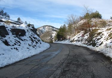
IT-141


A piedi
Facile
Verghereto,
Emilia-Romagna,
Forlì-Cesena,
Italy

4,6 km | 7,5 km-effort
1h 42min
No

(SI L03N) Balze - Verghereto


A piedi
Facile
,
Emilia-Romagna,
Forlì-Cesena,
Italy

11,9 km | 19 km-effort
4h 19min
No
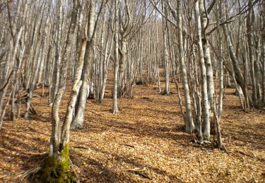
IT-121


A piedi
Facile
Verghereto,
Emilia-Romagna,
Forlì-Cesena,
Italy

4,3 km | 9,2 km-effort
2h 4min
No
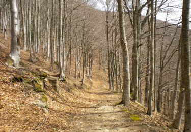
IT-125


A piedi
Facile
Verghereto,
Emilia-Romagna,
Forlì-Cesena,
Italy

6,7 km | 10,1 km-effort
2h 18min
No

IT-117


A piedi
Facile
Verghereto,
Emilia-Romagna,
Forlì-Cesena,
Italy

7,4 km | 10,4 km-effort
2h 22min
No

IT-137


A piedi
Facile
Verghereto,
Emilia-Romagna,
Forlì-Cesena,
Italy

3,7 km | 4,7 km-effort
1h 4min
No
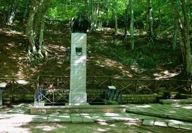
IT-104


A piedi
Facile
Verghereto,
Emilia-Romagna,
Forlì-Cesena,
Italy

5,1 km | 8,7 km-effort
1h 58min
No

IT-133


A piedi
Facile
Verghereto,
Emilia-Romagna,
Forlì-Cesena,
Italy

5 km | 6,8 km-effort
1h 32min
No
Alta Via dei Parchi: Tappa 26


A piedi
Medio
Verghereto,
Emilia-Romagna,
Forlì-Cesena,
Italy

21 km | 30 km-effort
6h 50min
No


 SityTrail


