


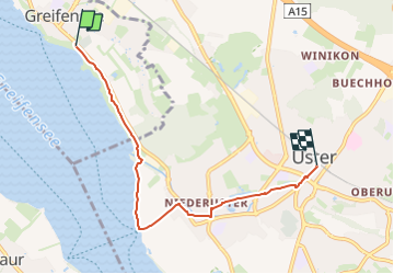

7,7 km | 9,8 km-effort

Tous les sentiers balisés d’Europe GUIDE+


Applicazione GPS da escursionismo GRATUITA
 SityTrail
IGN / Istituti geografici
SityTrail World
Il mondo è tuo
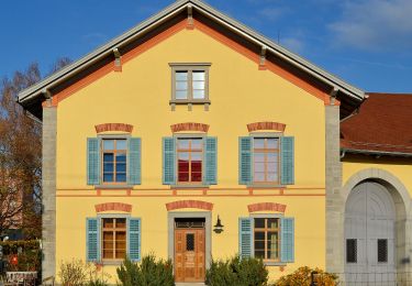
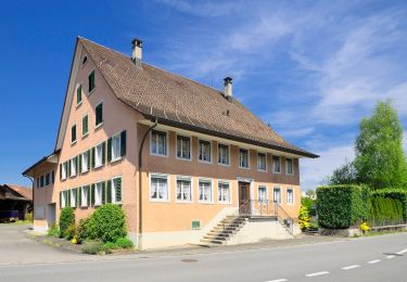
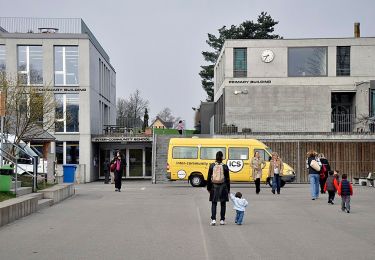
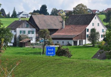
Percorso A piedi di 5,2 km da scoprire a Zurigo, Bezirk Uster, Greifensee. Questo percorso è proposto da SityTrail - itinéraires balisés pédestres.
Trail created by Zürcher Wanderwege ZAW.
Symbol: gelbe Raute


A piedi
A piedi
A piedi
A piedi
A piedi
A piedi
A piedi

A piedi
A piedi