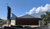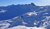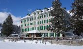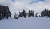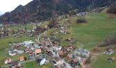

Oberterzen - Heusee
SityTrail - itinéraires balisés pédestres
Tous les sentiers balisés d’Europe GUIDE+

Lunghezza
4,8 km

Altitudine massima
1627 m

Dislivello positivo
958 m

Km-Effort
14,4 km

Altitudine minima
666 m

Dislivello negativo
2 m
Boucle
No
Tag
Data di creazione :
2022-02-14 08:54:23.246
Ultima modifica :
2022-02-14 08:54:23.246
3h15
Difficoltà : Facile

Applicazione GPS da escursionismo GRATUITA
Chi siamo
Percorso A piedi di 4,8 km da scoprire a San Gallo, Wahlkreis Sarganserland, Quarten. Questo percorso è proposto da SityTrail - itinéraires balisés pédestres.
Descrizione
Symbol: gelbe Raute
Localizzazione
Paese:
Switzerland
Regione :
San Gallo
Dipartimento/Provincia :
Wahlkreis Sarganserland
Comune :
Quarten
Località :
Unknown
Partenza:(Dec)
Partenza:(UTM)
519414 ; 5216573 (32T) N.
Commenti
Percorsi nelle vicinanze

Höhenwanderung Maschgenkamm-Murgsee


Marcia
Molto facile
(1)
Quarten,
San Gallo,
Wahlkreis Sarganserland,
Switzerland

28 km | 48 km-effort
Sconosciuto
No
Walenstadt - Pluder


A piedi
Facile
Walenstadt,
San Gallo,
Wahlkreis Sarganserland,
Switzerland

3 km | 3,3 km-effort
45min
No
Bergheim Vadella - Bildbrugg


A piedi
Facile
Flums,
San Gallo,
Wahlkreis Sarganserland,
Switzerland

3,7 km | 4,7 km-effort
1h 4min
No
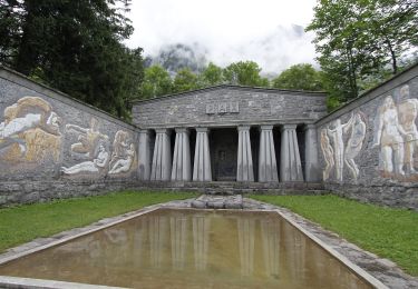
Hochrugg - Tschingla


A piedi
Facile
Walenstadt,
San Gallo,
Wahlkreis Sarganserland,
Switzerland

3,1 km | 6,8 km-effort
1h 32min
No
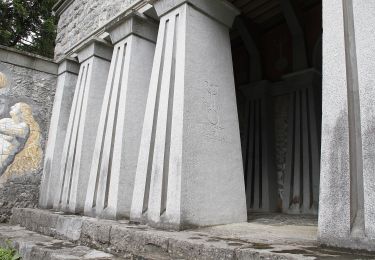
Hochrugg - Tschingla


A piedi
Facile
Walenstadt,
San Gallo,
Wahlkreis Sarganserland,
Switzerland

5,1 km | 11,4 km-effort
2h 35min
No
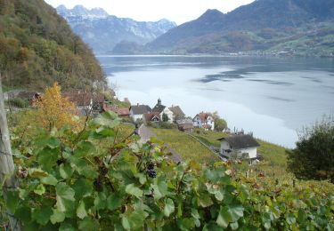
Walenstadtberg - Quinten


A piedi
Facile
Walenstadt,
San Gallo,
Wahlkreis Sarganserland,
Switzerland

7 km | 11,3 km-effort
2h 33min
No
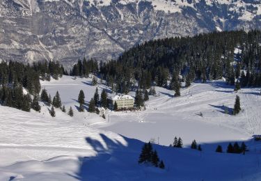
7-Gipfel-Tour


A piedi
Facile
Flums,
San Gallo,
Wahlkreis Sarganserland,
Switzerland

9,6 km | 17,5 km-effort
3h 58min
No
Oberterzen - Hessenberg


A piedi
Facile
Quarten,
San Gallo,
Wahlkreis Sarganserland,
Switzerland

3,3 km | 7,7 km-effort
1h 45min
No
Zigerfurgglen - Heusee


A piedi
Facile
Quarten,
San Gallo,
Wahlkreis Sarganserland,
Switzerland

3,3 km | 7,5 km-effort
1h 42min
No


 SityTrail


