


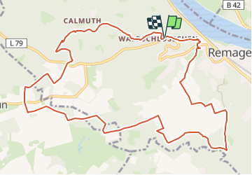

10,7 km | 15,2 km-effort

Tous les sentiers balisés d’Europe GUIDE+


Applicazione GPS da escursionismo GRATUITA
 SityTrail
IGN / Istituti geografici
SityTrail World
Il mondo è tuo
Percorso A piedi di 12,7 km da scoprire a Renania-Palatinato, Landkreis Ahrweiler, Remagen. Questo percorso è proposto da SityTrail - itinéraires balisés pédestres.
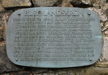
Symbol: Weißes geschwungenes R auf rotem rechteckigem Grund
 - Photo 1")
 - Photo 2")
 - Photo 3")
 - Photo 4")
 - Photo 5")
 - Photo 6")
 - Photo 7")
 - Photo 8")
 - Photo 9")
 - Photo 10")

A piedi
A piedi
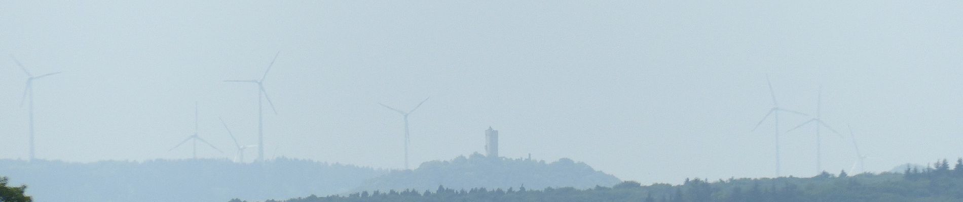
![Percorso A piedi Remagen - [4] Oberwinter Rundwanderweg - Photo](https://media.geolcdn.com/t/375/260/e27ef9e9-090e-4d77-ab64-ebc2130b65b2.jpeg&format=jpg&maxdim=2)
A piedi
![Percorso A piedi Remagen - [5] Oberwinter Rundwanderweg - Photo](https://media.geolcdn.com/t/375/260/f5d36974-2dd7-4709-98b7-1c99706d0ead.jpeg&format=jpg&maxdim=2)
A piedi
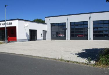
![Percorso A piedi Remagen - [1] Oberwinter Wanderweg (Oberwinter - Rolandseck) - Photo](https://media.geolcdn.com/t/375/260/25784967-1970-4af5-8d60-8f5ed7fdcfe9.jpeg&format=jpg&maxdim=2)
A piedi
A piedi
A piedi
A piedi

A piedi