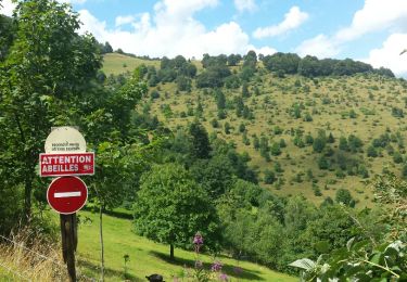
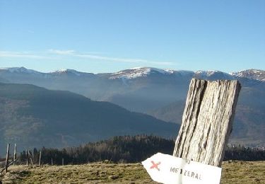
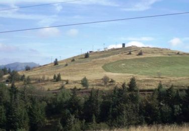
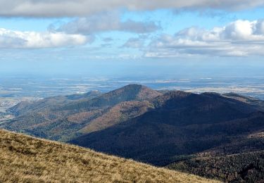
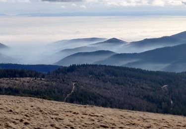
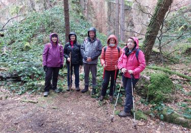
Percorso Marcia Linthal - Linthal col Hilsenfirst Oberlauchen Lac de la Lauch - Photo

Linthal col Hilsenfirst Oberlauchen Lac de la Lauch

 bob68
bob68

Utente

© OpenStreetMap contributors
Lunghezza
Lunghezza
25 km
Altitudine massima
Altitudine massima
1267 m
Dislivello positivo
Dislivello positivo
1122 m
Km-Effort
Km-Effort  
40 km
Altitudine minima
Altitudine minima
481 m
Dislivello negativo
Dislivello negativo
1126 m
Boucle
Boucle
Sì
Data di creazione :
2014-12-10 00:00:00.0
Ultima modifica :
2014-12-10 00:00:00.0

(0 Recensione)

Marcia
Marcia
6h31
Difficoltà : Molto difficile

Scannerizza questo codice QR per aprire il percorso nell'applicazione SityTrail

Applicazione GPS da escursionismo GRATUITA

Logo SityTrail SityTrail

IGN / Istituti geografici

Scarica SityTrail dall'App Store Scarica SityTrail da Google Play

Logo SityTrail SityTrail World

Il mondo è tuo

Scarica SityTrail dall'App Store Scarica SityTrail da Google Play Scarica SityTrail da Huawei AppGallery

Chi siamo

Percorso Marcia di 25 km da scoprire a Grande Est, Haut-Rhin, Linthal. Questo percorso è proposto da bob68.

Profilo altimetrico

Foto

Punti di interesse

Punto di interesse Lautenbachzell - Lac de la Lauch - Photo
bob68
LAUTENBACHZELL 
Punto di interesse Linthal - Point de vue - Photo
bob68
LINTHAL 
Punto di interesse Linthal - Point de vue - Photo
bob68
LINTHAL 
Punto di interesse Linthal - Oberlauchen - Photo
bob68
LINTHAL 

Localizzazione

Paese:
France
Regione :
Grande Est
Dipartimento/Provincia :
Haut-Rhin
Comune :
Linthal
Località :
Unknown
Partenza:(Dec)
Partenza:(UTM)
360229 ; 5312124 (32T) N.

Percorsi nelle vicinanze

Percorso Marcia Lautenbach - Tour du Petit Ballon - Photo
Marcia
VacheKiri67

Marcia

Medio
(1)
Lautenbach, Grande Est, Haut-Rhin, France
12,7 km | 20 km-effort
4h 46min
Sì
Percorso Marcia Linthal - Tour de la grande Vallée de Munster (refuge du Hilsen - Munster) - Photo
Marcia
tracegps

Marcia

Difficile
(1)
Linthal, Grande Est, Haut-Rhin, France
18,1 km | 24 km-effort
5h 0min
No
Percorso Marcia Lautenbachzell - Le Markstein - Photo
Marcia
tracegps

Marcia

Difficile
(1)
Lautenbachzell, Grande Est, Haut-Rhin, France
22 km | 35 km-effort
6h 0min
Sì
Percorso Marcia Rouffach - suuntoapp-Hiking-2023-10-22T08-43-15Z - Photo
Marcia
GUIDE
holtzv

Marcia

Medio
Rouffach, Grande Est, Haut-Rhin, France
19 km | 33 km-effort
7h 34min
Sì
Percorso Marcia Linthal - SityTrail - Remspach-Hilsen - Photo
Marcia

Marcia

Medio
(1)
Linthal, Grande Est, Haut-Rhin, France
9,9 km | 14,6 km-effort
3h 3min
Sì
Percorso A piedi Wasserbourg - Boenlesgrab - Drei Schöpf - Bannwald - Chalet St Hubert - Brunnemaëttlé - Wassmatt - Hansen et retour - Photo
A piedi
patrickbeyrath

A piedi

Medio
(1)
Wasserbourg, Grande Est, Haut-Rhin, France
10,2 km | 14,2 km-effort
Sconosciuto
Sì
Percorso Marcia Wasserbourg - SityTrail - Boenlesgrab- Strohberg - Photo
Marcia

Marcia

Difficile
(1)
Wasserbourg, Grande Est, Haut-Rhin, France
9,6 km | 15,1 km-effort
3h 0min
Sì
Percorso Marcia Sondernach - 2020-01-02 Marche Landersen Petit Ballon - Photo
Marcia
GUIDE
holtzv

Marcia

Difficile
Sondernach, Grande Est, Haut-Rhin, France
17,6 km | 28 km-effort
3h 4min
Sì
Percorso Marcia Buhl - AMAELLES - Rando 06/01/2025 - Bulh - Photo
Marcia
Hub6877

Marcia

Medio
Buhl, Grande Est, Haut-Rhin, France
5,4 km | 8,3 km-effort
1h 53min
Sì


Chiudi
I miei abbonamenti