


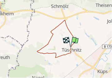

5,8 km | 7,3 km-effort

Tous les sentiers balisés d’Europe GUIDE+


Applicazione GPS da escursionismo GRATUITA
 SityTrail
IGN / Istituti geografici
SityTrail World
Il mondo è tuo
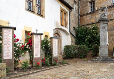
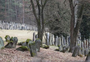
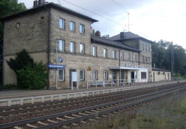
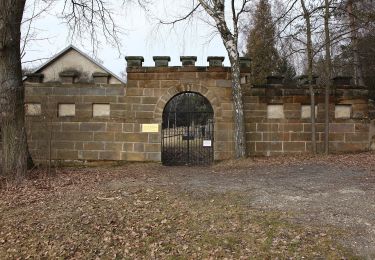
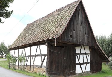
Percorso A piedi di 4,9 km da scoprire a Baviera, Landkreis Kronach, Küps. Questo percorso è proposto da SityTrail - itinéraires balisés pédestres.
Auf manchen Wanderkarten auch KC 41, aber keine Markierung
Symbol: Grüner Lindenbaum auf weißem Hintergrund


A piedi
A piedi
A piedi
A piedi
A piedi
A piedi
A piedi
A piedi
A piedi