


4,8 km | 6,9 km-effort

Tous les sentiers balisés d’Europe GUIDE+


Applicazione GPS da escursionismo GRATUITA
 SityTrail
IGN / Istituti geografici
SityTrail World
Il mondo è tuo
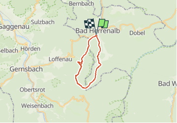
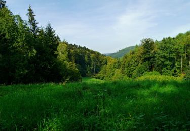
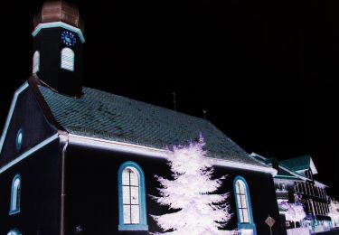
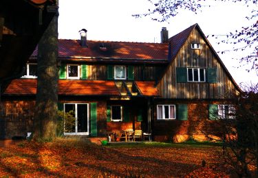
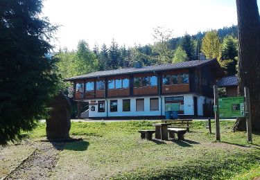
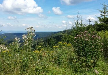
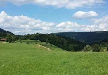
Percorso A piedi di 14,8 km da scoprire a Baden-Württemberg, Landkreis Calw, Bad Herrenalb. Questo percorso è proposto da SityTrail - itinéraires balisés pédestres.
Symbol: Wechselnde Symbole (blaue Raute, gelbe Raute)


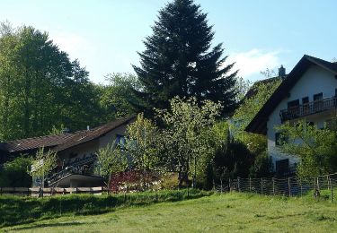
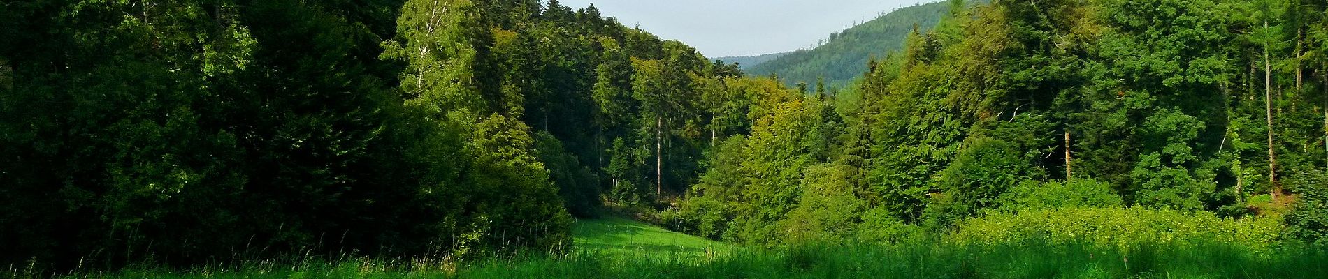
A piedi
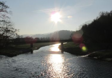
A piedi
A piedi
A piedi
A piedi
A piedi

A piedi
Marcia
Altra attività