


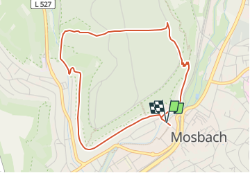

5,8 km | 8,4 km-effort


Tous les sentiers balisés d’Europe GUIDE+


Applicazione GPS da escursionismo GRATUITA
 SityTrail
IGN / Istituti geografici
SityTrail World
Il mondo è tuo
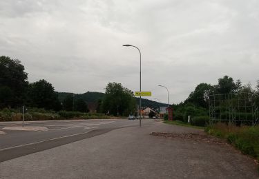
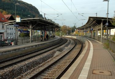
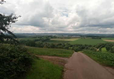
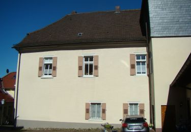
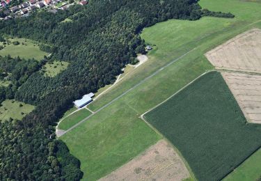
Percorso A piedi di 4,4 km da scoprire a Baden-Württemberg, Neckar-Odenwald-Kreis, Mosbach. Questo percorso è proposto da SityTrail - itinéraires balisés pédestres.
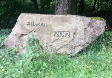
Trail created by Naturpark Neckartal-Odenwald.
Symbol: Weiße 4 in einem oben offenen, weißen Kreis, darüber weißes M


A piedi
A piedi
A piedi
A piedi
A piedi
A piedi
A piedi
A piedi
A piedi