


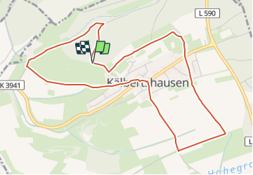

9,7 km | 13,1 km-effort


Tous les sentiers balisés d’Europe GUIDE+


Applicazione GPS da escursionismo GRATUITA
 SityTrail
IGN / Istituti geografici
SityTrail World
Il mondo è tuo
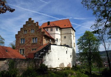
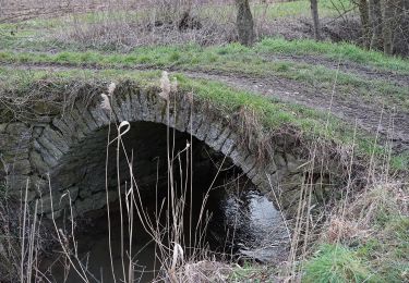
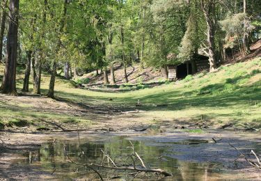
Percorso A piedi di 5,4 km da scoprire a Baden-Württemberg, Neckar-Odenwald-Kreis, Hüffenhardt. Questo percorso è proposto da SityTrail - itinéraires balisés pédestres.
Sito web: https://hueffenhardt.de/cms/index.php/freizeit-sport-tourist/touristik-ausflug/landwirtsch-lehrpfad
A piedi
A piedi
A piedi

A piedi