


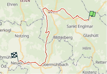

11,8 km | 18,8 km-effort

Tous les sentiers balisés d’Europe GUIDE+


Applicazione GPS da escursionismo GRATUITA
 SityTrail
IGN / Istituti geografici
SityTrail World
Il mondo è tuo
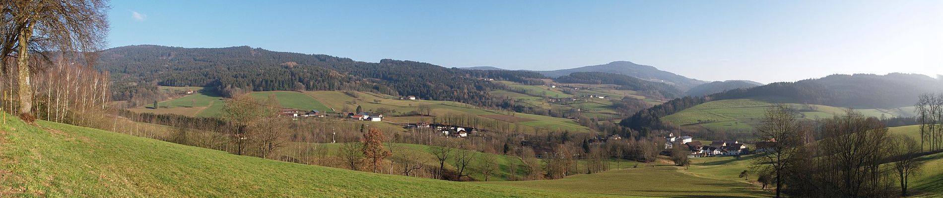
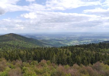
Percorso A piedi di 13 km da scoprire a Baviera, Landkreis Straubing-Bogen, Sankt Englmar. Questo percorso è proposto da SityTrail - itinéraires balisés pédestres.
Symbol: Blauer, stilisierter s-förmiger Weg und schwarze Schrift "GOLDSTEIG" auf weißem, rechteckigen Grund


A piedi
A piedi
A piedi

A piedi

Macchina