


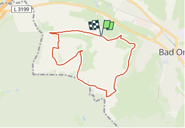

4,3 km | 5,4 km-effort

Tous les sentiers balisés d’Europe GUIDE+


Applicazione GPS da escursionismo GRATUITA
 SityTrail
IGN / Istituti geografici
SityTrail World
Il mondo è tuo
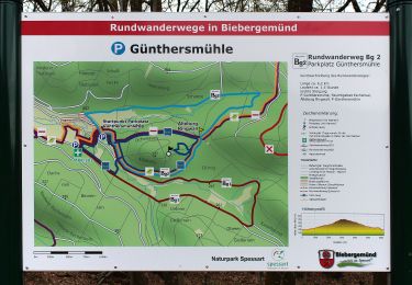
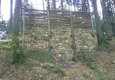
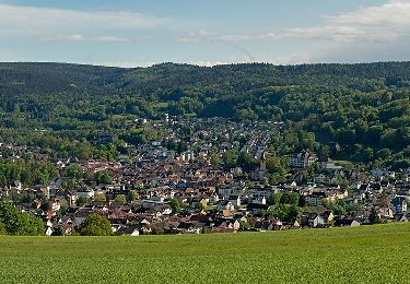
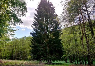
Percorso A piedi di 7,4 km da scoprire a Assia, Main-Kinzig-Kreis, Bad Orb. Questo percorso è proposto da SityTrail - itinéraires balisés pédestres.
Symbol: Blauer Text 16 auf weißem Grund


A piedi
A piedi
A piedi
A piedi
A piedi
A piedi
A piedi
A piedi
A piedi