


4,5 km | 5,9 km-effort

Tous les sentiers balisés d’Europe GUIDE+


Applicazione GPS da escursionismo GRATUITA
 SityTrail
IGN / Istituti geografici
SityTrail World
Il mondo è tuo
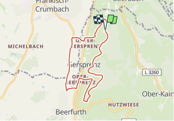
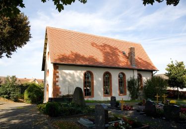
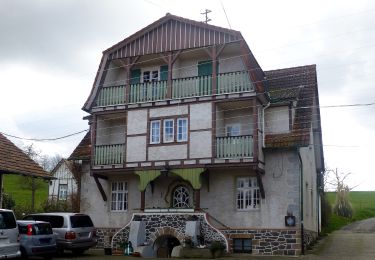
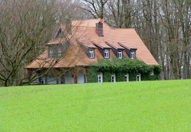
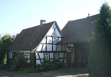
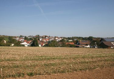
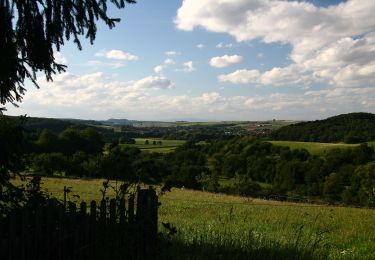
Percorso A piedi di 7,1 km da scoprire a Assia, Odenwaldkreis, Reichelsheim (Odenwald). Questo percorso è proposto da SityTrail - itinéraires balisés pédestres.
Trail created by Odenwaldklub.
Symbol: weißes Kreissegment, oben offen. In der Öffnung G, in der Mitte eine 1
 - Rundwanderweg G 1: Schnellerts-Weg - Photo 1")
 - Rundwanderweg G 1: Schnellerts-Weg - Photo 2")
 - Rundwanderweg G 1: Schnellerts-Weg - Photo 3")
 - Rundwanderweg G 1: Schnellerts-Weg - Photo 4")
 - Rundwanderweg G 1: Schnellerts-Weg - Photo 5")
 - Rundwanderweg G 1: Schnellerts-Weg - Photo 6")
 - Rundwanderweg G 1: Schnellerts-Weg - Photo 7")
 - Rundwanderweg G 1: Schnellerts-Weg - Photo 8")
 - Rundwanderweg G 1: Schnellerts-Weg - Photo 9")
 - Rundwanderweg G 1: Schnellerts-Weg - Photo 10")
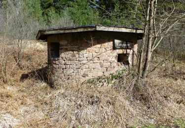
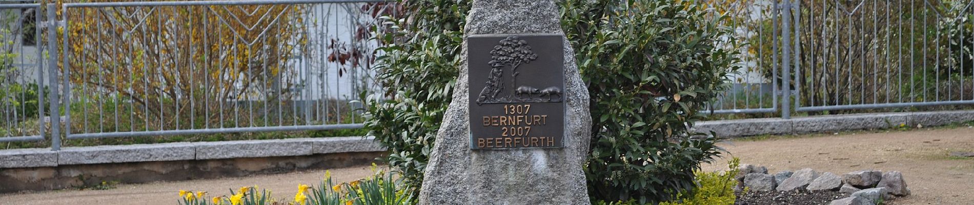
A piedi
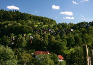
A piedi
A piedi
A piedi
A piedi
A piedi
A piedi
A piedi
A piedi