


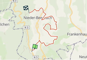

13,3 km | 18,1 km-effort


Tous les sentiers balisés d’Europe GUIDE+


Applicazione GPS da escursionismo GRATUITA
 SityTrail
IGN / Istituti geografici
SityTrail World
Il mondo è tuo
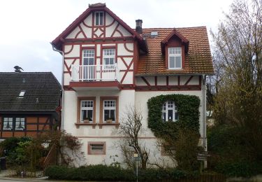
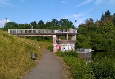
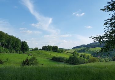
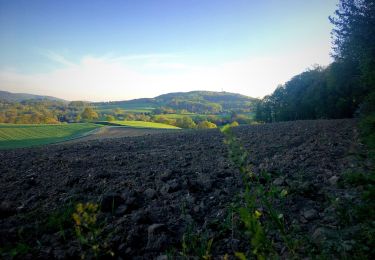
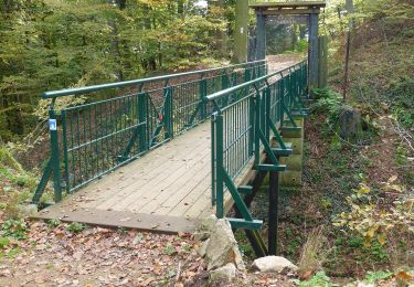
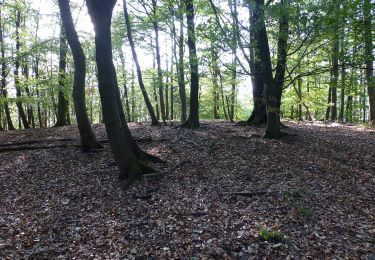
Percorso A piedi di 7,2 km da scoprire a Assia, Landkreis Darmstadt-Dieburg, Mühltal. Questo percorso è proposto da SityTrail - itinéraires balisés pédestres.
Symbol: white 1 in a white circle with Nb in a break at the top of the circle


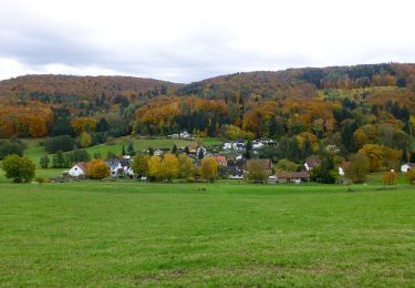
A piedi
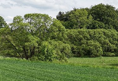
A piedi
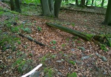
A piedi
A piedi
A piedi
A piedi
A piedi
A piedi
A piedi