


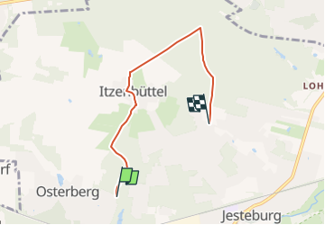

3,7 km | 4 km-effort


Tous les sentiers balisés d’Europe GUIDE+


Applicazione GPS da escursionismo GRATUITA
 SityTrail
IGN / Istituti geografici
SityTrail World
Il mondo è tuo
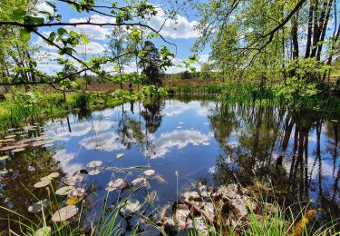
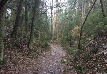
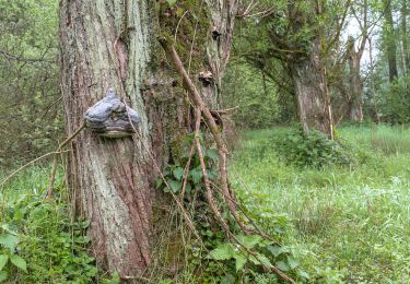
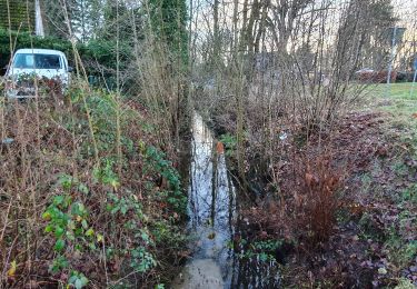
Percorso A piedi di 4,1 km da scoprire a Niedersachsen, Harburg, Jesteburg. Questo percorso è proposto da SityTrail - itinéraires balisés pédestres.
Trail created by Samtgemeinde Jesteburg.
Symbol: weisse 2 auf rotem Pfeil
Sito web: https://www.jesteburg.de/


A piedi
A piedi
A piedi
A piedi
A piedi

A piedi
A piedi
A piedi
A piedi