


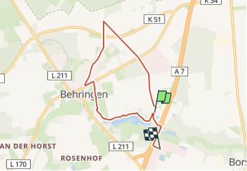

7,3 km | 8,1 km-effort

Tous les sentiers balisés d’Europe GUIDE+


Applicazione GPS da escursionismo GRATUITA
 SityTrail
IGN / Istituti geografici
SityTrail World
Il mondo è tuo
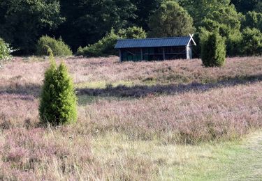
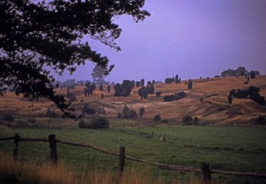
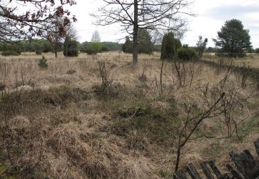
Percorso A piedi di 5,6 km da scoprire a Niedersachsen, Heidekreis, Bispingen. Questo percorso è proposto da SityTrail - itinéraires balisés pédestres.
Trail created by Verein Naturparkregion Lüneburger Heide e.V..
Sito web: https://naturpark-lueneburger-heide.de/


A piedi
A piedi
A piedi
A piedi
A piedi
A piedi
A piedi
A piedi
A piedi