


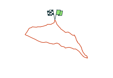

5,2 km | 6,1 km-effort

Tous les sentiers balisés d’Europe GUIDE+


Applicazione GPS da escursionismo GRATUITA
 SityTrail
IGN / Istituti geografici
SityTrail World
Il mondo è tuo
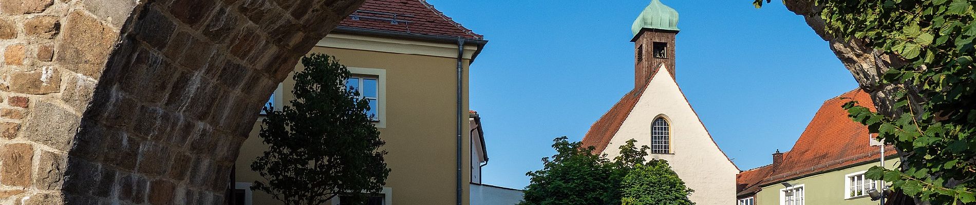
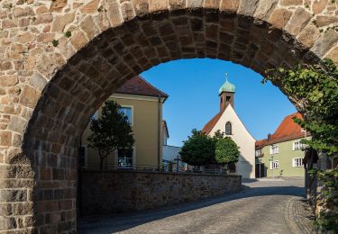
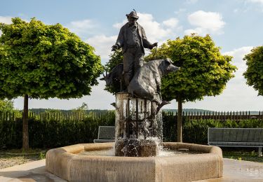
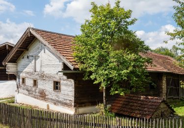
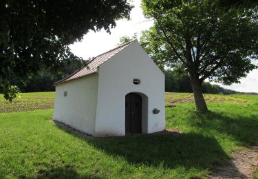
Percorso A piedi di 6,4 km da scoprire a Baviera, Landkreis Schwandorf, Nabburg. Questo percorso è proposto da SityTrail - itinéraires balisés pédestres.
Trail created by Obepfälzer Waldverein.
the sign is not in reality its nearly the same


A piedi
A piedi
A piedi
A piedi
A piedi
A piedi
A piedi
A piedi
A piedi