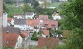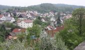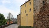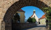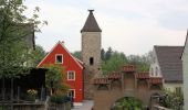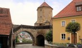

Hallerdenkmal
SityTrail - itinéraires balisés pédestres
Tous les sentiers balisés d’Europe GUIDE+

Lunghezza
6,4 km

Altitudine massima
532 m

Dislivello positivo
153 m

Km-Effort
8,4 km

Altitudine minima
396 m

Dislivello negativo
149 m
Boucle
Sì
Tag
Data di creazione :
2022-02-11 13:58:57.507
Ultima modifica :
2022-02-11 13:58:57.507
1h54
Difficoltà : Facile

Applicazione GPS da escursionismo GRATUITA
Chi siamo
Percorso A piedi di 6,4 km da scoprire a Baviera, Landkreis Schwandorf, Nabburg. Questo percorso è proposto da SityTrail - itinéraires balisés pédestres.
Descrizione
Trail created by Obepfälzer Waldverein.
the sign is not in reality its nearly the same
Localizzazione
Paese:
Germany
Regione :
Baviera
Dipartimento/Provincia :
Landkreis Schwandorf
Comune :
Nabburg
Località :
Unknown
Partenza:(Dec)
Partenza:(UTM)
294262 ; 5483565 (33U) N.
Commenti
Percorsi nelle vicinanze

Wanderroute Pfeimd/Sportplatz - Stein


A piedi
Facile
Pfreimd,
Baviera,
Landkreis Schwandorf,
Germany

5,2 km | 6,1 km-effort
1h 22min
No
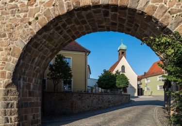
Etzelhofer Rangen


A piedi
Facile
Nabburg,
Baviera,
Landkreis Schwandorf,
Germany

4,9 km | 6,4 km-effort
1h 27min
No

Wiesensüß-Rundwanderweg


A piedi
Facile
Nabburg,
Baviera,
Landkreis Schwandorf,
Germany

6,6 km | 8,4 km-effort
1h 54min
No

Kulmwanderweg


A piedi
Facile
Nabburg,
Baviera,
Landkreis Schwandorf,
Germany

6,8 km | 8,4 km-effort
1h 54min
No

Reichhartschacht


A piedi
Facile
Stulln,
Baviera,
Landkreis Schwandorf,
Germany

6 km | 7,6 km-effort
1h 43min
No
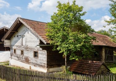
Wanderroute Häuslberg-Weg


A piedi
Facile
Nabburg,
Baviera,
Landkreis Schwandorf,
Germany

9,2 km | 11,8 km-effort
2h 41min
No
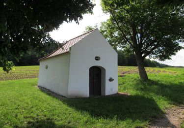
Eixlberg Rundweg 1


A piedi
Facile
Pfreimd,
Baviera,
Landkreis Schwandorf,
Germany

4,1 km | 5,5 km-effort
1h 14min
Sì
Wanderroute Kulmweg


A piedi
Facile
Nabburg,
Baviera,
Landkreis Schwandorf,
Germany

9,1 km | 11,1 km-effort
2h 31min
No

Wanderroute Pfreimd/Sportplatz-Kulm


A piedi
Facile
Nabburg,
Baviera,
Landkreis Schwandorf,
Germany

5,6 km | 7,3 km-effort
1h 39min
No


 SityTrail


