![](/images/other/stat-length.png)
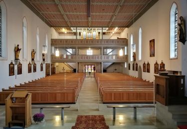
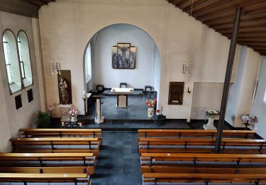
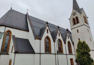
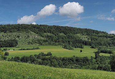
![Percorso A piedi Lauterstein - Glaubensweg 12 - Photo](https://media.geolcdn.com/t/1900/400/f9d955c4-1d2c-435b-908a-bcbf360a307c.jpeg&format=pjpeg&maxdim=2)
Glaubensweg 12
SityTrail - itinéraires balisés pédestres
Tous les sentiers balisés d’Europe GUIDE+
![Lunghezza](/images/other/stat-length.png)
Lunghezza
14,2 km
![Altitudine massima](https://static1.geolcdn.com/siteimages/upload/files/1508320355ic_sort_altitude_max_24dp.png)
Altitudine massima
757 m
![Dislivello positivo](https://static1.geolcdn.com/siteimages/upload/files/1508320355ic_sort_den_pos_24dp.png)
Dislivello positivo
469 m
![Km-Effort](/images/other/stat-length.png)
Km-Effort
20 km
![Altitudine minima](https://static1.geolcdn.com/siteimages/upload/files/1508320355ic_sort_altitude_min_24dp.png)
Altitudine minima
520 m
![Dislivello negativo](https://static1.geolcdn.com/siteimages/upload/files/1508320355ic_sort_den_neg_24dp.png)
Dislivello negativo
467 m
![Boucle](https://static1.geolcdn.com/siteimages/upload/files/16400158638029165_repeat_loop_refresh_sync_direction_icon.png)
Boucle
Sì
Tag
Data di creazione :
2022-02-11 13:39:52.575
Ultima modifica :
2022-02-11 13:39:52.575
![A piedi](https://static1.geolcdn.com/sitytour/trail-icons/100.png)
4h38
Difficoltà : Medio
![Scannerizza questo codice QR per aprire il percorso nell'applicazione SityTrail](https://capi.geolives.com/qq0zvz2zws4bq2lad0pu/sitytour/trails/3090841/qr.png?size=200)
Applicazione GPS da escursionismo GRATUITA
Chi siamo
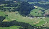
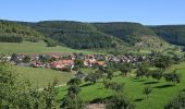
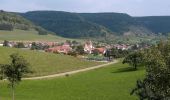
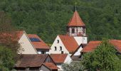
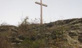
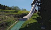
Percorso A piedi di 14,2 km da scoprire a Baden-Württemberg, Landkreis Göppingen, Lauterstein. Questo percorso è proposto da SityTrail - itinéraires balisés pédestres.
Descrizione
Sito web: https://www.glaubenswege.de/
Localizzazione
Paese:
Germany
Regione :
Baden-Württemberg
Dipartimento/Provincia :
Landkreis Göppingen
Comune :
Lauterstein
Località :
Unknown
Partenza:(Dec)
Partenza:(UTM)
564528 ; 5396174 (32U) N.
Commenti
Percorsi nelle vicinanze
![Percorso A piedi Waldstetten - Glaubensweg 14 Christentalweg - Photo](https://media.geolcdn.com/t/375/260/2e13880c-9ffa-400d-97f5-6de663c3823c.jpeg&format=jpg&maxdim=2)
![A piedi A piedi](https://static1.geolcdn.com/sitytour/trail-icons/100.png)
Glaubensweg 14 Christentalweg
A piedi
Facile
Waldstetten,
Baden-Württemberg,
Ostalbkreis,
Germany
![](/images/other/stat-length.png)
4,4 km | 5,1 km-effort
1h 9min
![](https://static1.geolcdn.com/siteimages/upload/files/16400158638029165_repeat_loop_refresh_sync_direction_icon.png)
No
![Percorso A piedi Donzdorf - Donzdorf - Messelberg - Photo](https://media.geolcdn.com/t/375/260/db6895b8-89de-4ba2-afd2-c8ced98936aa.jpeg&format=jpg&maxdim=2)
![A piedi A piedi](https://static1.geolcdn.com/sitytour/trail-icons/100.png)
Donzdorf - Messelberg
A piedi
Facile
Donzdorf,
Baden-Württemberg,
Landkreis Göppingen,
Germany
![](/images/other/stat-length.png)
3,3 km | 6,4 km-effort
1h 27min
![](https://static1.geolcdn.com/siteimages/upload/files/16400158638029165_repeat_loop_refresh_sync_direction_icon.png)
No
![Percorso A piedi Schwäbisch Gmünd - Glaubensweg c - Photo](https://media.geolcdn.com/t/375/260/1c2866a7-fee1-424b-beb1-e38c7061d102.jpeg&format=jpg&maxdim=2)
![A piedi A piedi](https://static1.geolcdn.com/sitytour/trail-icons/100.png)
Glaubensweg c
A piedi
Facile
Schwäbisch Gmünd,
Baden-Württemberg,
Ostalbkreis,
Germany
![](/images/other/stat-length.png)
14,8 km | 19,1 km-effort
4h 20min
![](https://static1.geolcdn.com/siteimages/upload/files/16400158638029165_repeat_loop_refresh_sync_direction_icon.png)
No
![Percorso A piedi Donzdorf - Glaubensweg 15 Heldenbergweg - Photo](https://media.geolcdn.com/t/375/260/2e13880c-9ffa-400d-97f5-6de663c3823c.jpeg&format=jpg&maxdim=2)
![A piedi A piedi](https://static1.geolcdn.com/sitytour/trail-icons/100.png)
Glaubensweg 15 Heldenbergweg
A piedi
Facile
Donzdorf,
Baden-Württemberg,
Landkreis Göppingen,
Germany
![](/images/other/stat-length.png)
5,3 km | 7,5 km-effort
1h 41min
![](https://static1.geolcdn.com/siteimages/upload/files/16400158638029165_repeat_loop_refresh_sync_direction_icon.png)
No
![Percorso A piedi Gomadingen - Wanderblume Nr.6](https://media.geolcdn.com/t/375/260/68693ba1-8f6f-4e35-89c0-78cb48941cec.jpeg&format=jpg&maxdim=2)
![A piedi A piedi](https://static1.geolcdn.com/sitytour/trail-icons/100.png)
Wanderblume Nr.6 "Drei Linden"
A piedi
Facile
Gomadingen,
Baden-Württemberg,
Landkreis Reutlingen,
Germany
![](/images/other/stat-length.png)
7 km | 8,2 km-effort
1h 52min
![](https://static1.geolcdn.com/siteimages/upload/files/16400158638029165_repeat_loop_refresh_sync_direction_icon.png)
No
![Percorso A piedi Donzdorf - Donzdorf - Winzingen - Reiterleskapelle - Photo](https://media.geolcdn.com/t/375/260/021d6fe9-291a-4426-9722-9d466d572dcf.jpeg&format=jpg&maxdim=2)
![A piedi A piedi](https://static1.geolcdn.com/sitytour/trail-icons/100.png)
Donzdorf - Winzingen - Reiterleskapelle
A piedi
Facile
Donzdorf,
Baden-Württemberg,
Landkreis Göppingen,
Germany
![](/images/other/stat-length.png)
6,7 km | 10,6 km-effort
2h 24min
![](https://static1.geolcdn.com/siteimages/upload/files/16400158638029165_repeat_loop_refresh_sync_direction_icon.png)
No
![Percorso A piedi Gomadingen - Ravenstein - Böhmenkirch - Photo](https://media.geolcdn.com/t/375/260/bed42379-a3ae-45d3-9783-4c7eb0caf9fe.jpeg&format=jpg&maxdim=2)
![A piedi A piedi](https://static1.geolcdn.com/sitytour/trail-icons/100.png)
Ravenstein - Böhmenkirch
A piedi
Facile
Gomadingen,
Baden-Württemberg,
Landkreis Reutlingen,
Germany
![](/images/other/stat-length.png)
3,6 km | 4,1 km-effort
56min
![](https://static1.geolcdn.com/siteimages/upload/files/16400158638029165_repeat_loop_refresh_sync_direction_icon.png)
No
![Percorso A piedi Gomadingen - Roggental - Schnittlingen - Eybach - Photo](https://media.geolcdn.com/t/375/260/32aadef3-483e-4de7-b6f2-cd019a7f8f4a.jpeg&format=jpg&maxdim=2)
![A piedi A piedi](https://static1.geolcdn.com/sitytour/trail-icons/100.png)
Roggental - Schnittlingen - Eybach
A piedi
Facile
Gomadingen,
Baden-Württemberg,
Landkreis Reutlingen,
Germany
![](/images/other/stat-length.png)
5,6 km | 7,5 km-effort
1h 42min
![](https://static1.geolcdn.com/siteimages/upload/files/16400158638029165_repeat_loop_refresh_sync_direction_icon.png)
No
![Percorso A piedi Gomadingen - Treffelhausen - Eybach - Photo](https://media.geolcdn.com/t/375/260/19162115-04c6-4157-9570-10d6a211d510.jpeg&format=jpg&maxdim=2)
![A piedi A piedi](https://static1.geolcdn.com/sitytour/trail-icons/100.png)
Treffelhausen - Eybach
A piedi
Facile
Gomadingen,
Baden-Württemberg,
Landkreis Reutlingen,
Germany
![](/images/other/stat-length.png)
8,3 km | 10,3 km-effort
2h 20min
![](https://static1.geolcdn.com/siteimages/upload/files/16400158638029165_repeat_loop_refresh_sync_direction_icon.png)
No