


4,8 km | 5,6 km-effort

Tous les sentiers balisés d’Europe GUIDE+


Applicazione GPS da escursionismo GRATUITA
 SityTrail
IGN / Istituti geografici
SityTrail World
Il mondo è tuo
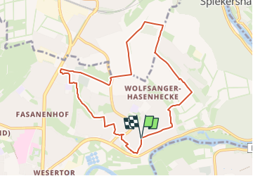
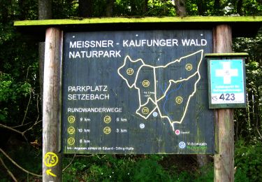
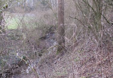
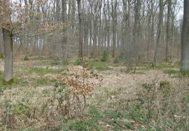
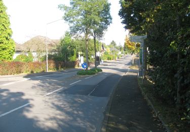
Percorso A piedi di 8,3 km da scoprire a Assia, Kassel, Sconosciuto. Questo percorso è proposto da SityTrail - itinéraires balisés pédestres.
Trail created by Hessisch-Waldeckischer Gebirgs- und Heimatverein.
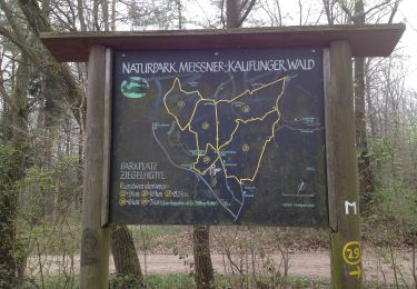
Symbol: Gelbes 'W' auf schwarzem Grund


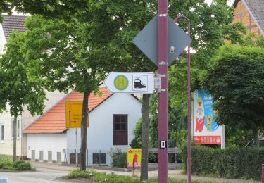
A piedi
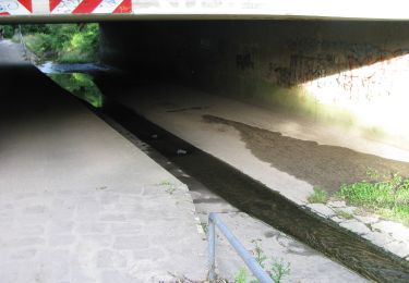
A piedi
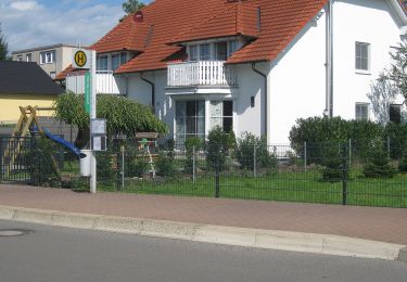
A piedi
A piedi
A piedi
A piedi
A piedi
A piedi
A piedi