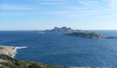

Calanque of Marseilleveyre

JN-PARTNERS
Utente


2h30
Difficoltà : Facile

Applicazione GPS da escursionismo GRATUITA
Chi siamo
Percorso Marcia di 6,2 km da scoprire a Provenza-Alpi-Costa Azzurra, Bouches-du-Rhône, Marsiglia. Questo percorso è proposto da JN-PARTNERS.
Descrizione
How to reach the starting point: from the Vieux-Port, take the metro to the Rond-Point du Prado, and then Bus No. 19 to the terminus and then take Bus No. 20 to its terminus.
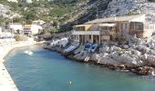
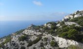
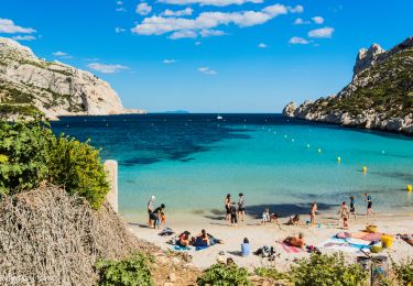
Points of interest: cabanons and beach (Calanque of Marseilleveyre). This trail overlooks the sea and allows you to admire the view of the Riou archipelago.
Starting out from the port, take Boulevard Alexandre Delabre on the right and follow the path to the end of the valley (yellow trail n°2). When you come to the ridge?, take the path on your left. Watch out!!! About 150m at Point?, the trail turns right to meet up with a path overlooking the sea which will take you the Vallon de la Mounine?. Walk down into the valley (green trail n°2) to return to the calanque. Follow the Calanque of Marseilleveyre by the seashore and take the “Customs Officers’ Path” (black trail n°2) on your left.
To return to your departure point, take the Customs Officers’ Path by the seashore. Watch out! The rocks are slippery.
Punti di interesse
Localizzazione
Commenti
Percorsi nelle vicinanze
Mountainbike

Marcia

A piedi

A piedi

A piedi


A piedi

A piedi

A piedi


A piedi


 SityTrail


