


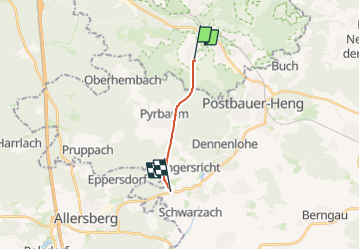

4,3 km | 5 km-effort

Tous les sentiers balisés d’Europe GUIDE+


Applicazione GPS da escursionismo GRATUITA
 SityTrail
IGN / Istituti geografici
SityTrail World
Il mondo è tuo
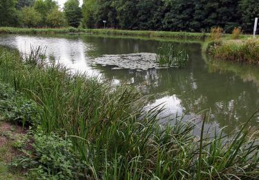
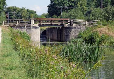
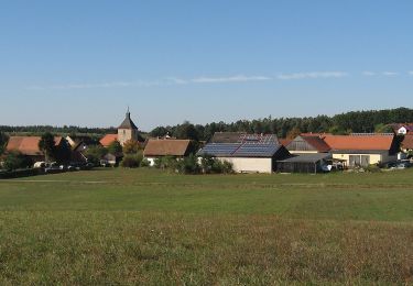
Percorso A piedi di 7,3 km da scoprire a Baviera, Landkreis Nürnberger Land, Burgthann. Questo percorso è proposto da SityTrail - itinéraires balisés pédestres.
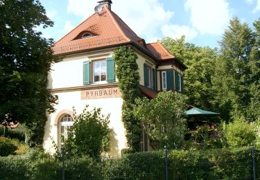
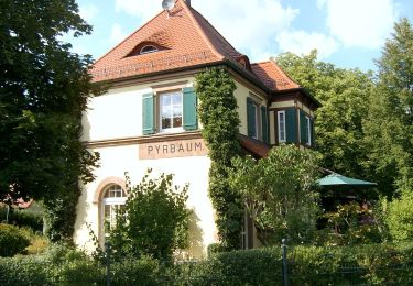
Trail created by Gemeinde Pyrbaum.
abgeschlossen (Jan. 2013 by cycling_zno)
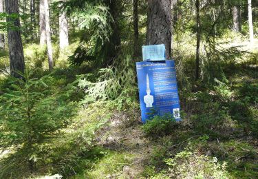
Symbol: Rotes Dreieck auf weißem Grund


A piedi
A piedi
A piedi
A piedi
A piedi
A piedi
A piedi
A piedi
A piedi