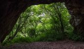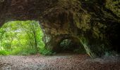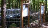

Plecher Höhlenweg
SityTrail - itinéraires balisés pédestres
Tous les sentiers balisés d’Europe GUIDE+

Lunghezza
6,8 km

Altitudine massima
518 m

Dislivello positivo
244 m

Km-Effort
9,9 km

Altitudine minima
431 m

Dislivello negativo
207 m
Boucle
No
Tag
Data di creazione :
2022-02-11 13:19:23.406
Ultima modifica :
2022-02-11 13:19:23.406
2h15
Difficoltà : Facile

Applicazione GPS da escursionismo GRATUITA
Chi siamo
Percorso A piedi di 6,8 km da scoprire a Baviera, Landkreis Bayreuth, Plech. Questo percorso è proposto da SityTrail - itinéraires balisés pédestres.
Descrizione
Trail created by Plecher Heimatverein.
geprüft (Jan. 2015 by cycling_zno)
Symbol: Gelber Pfeil auf weißem Grund
Localizzazione
Paese:
Germany
Regione :
Baviera
Dipartimento/Provincia :
Landkreis Bayreuth
Comune :
Plech
Località :
Unknown
Partenza:(Dec)
Partenza:(UTM)
678313 ; 5502821 (32U) N.
Commenti
Percorsi nelle vicinanze
Rundweg Velden – Gelbring


A piedi
Facile
Velden,
Baviera,
Landkreis Nürnberger Land,
Germany

3,6 km | 4,4 km-effort
1h 0min
Sì

Scheunenweg


A piedi
Facile
Velden,
Baviera,
Landkreis Nürnberger Land,
Germany

4,4 km | 5,9 km-effort
1h 20min
Sì
Landkreislauf Nürnberger Land 2013 Etappe 2


A piedi
Facile
Velden,
Baviera,
Landkreis Nürnberger Land,
Germany

6 km | 7,9 km-effort
1h 47min
No
Schusterweg


A piedi
Facile
Plech,
Baviera,
Landkreis Bayreuth,
Germany

3,6 km | 4,4 km-effort
59min
Sì

Geißbock-Runde


A piedi
Facile
Plech,
Baviera,
Landkreis Bayreuth,
Germany

4,2 km | 5,1 km-effort
1h 9min
Sì
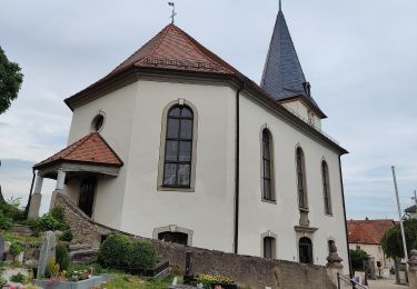
Löwen-Runde


A piedi
Facile
Plech,
Baviera,
Landkreis Bayreuth,
Germany

6,3 km | 8,2 km-effort
1h 52min
No
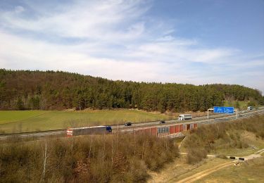
Wolfs-Runde


A piedi
Facile
Plech,
Baviera,
Landkreis Bayreuth,
Germany

9,2 km | 11,6 km-effort
2h 37min
Sì
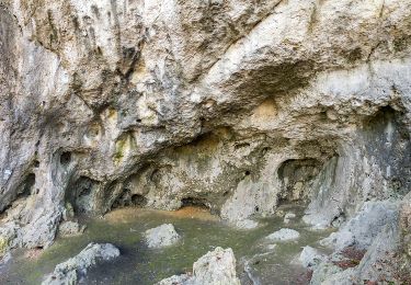
Doerfer Rund um Betzenstein


A piedi
Medio
Betzenstein,
Baviera,
Landkreis Bayreuth,
Germany

18,5 km | 26 km-effort
5h 50min
Sì
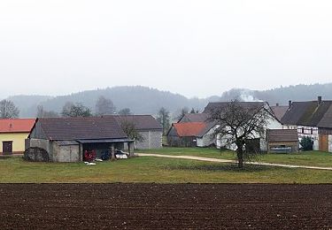
Rundweg Illafeld


A piedi
Facile
Betzenstein,
Baviera,
Landkreis Bayreuth,
Germany

10,9 km | 15,4 km-effort
3h 30min
Sì


 SityTrail


