


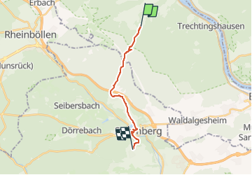

9,4 km | 13,9 km-effort

Tous les sentiers balisés d’Europe GUIDE+


Applicazione GPS da escursionismo GRATUITA
 SityTrail
IGN / Istituti geografici
SityTrail World
Il mondo è tuo
Percorso A piedi di 12 km da scoprire a Renania-Palatinato, Landkreis Mainz-Bingen, Oberheimbach. Questo percorso è proposto da SityTrail - itinéraires balisés pédestres.
Symbol: grünes Dreieck, Spitze nach oben, ohne Hintergrund
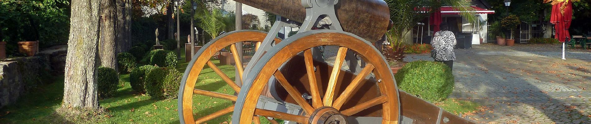
 - Photo 1")
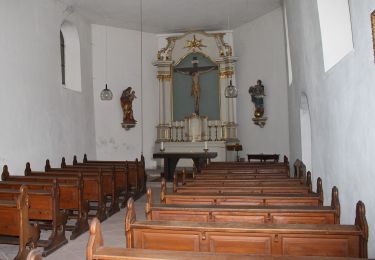
 - Photo 2")
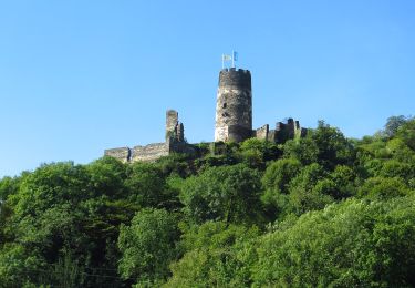
 - Photo 3")
 - Photo 4")
 - Photo 5")
 - Photo 6")
 - Photo 7")
 - Photo 8")
 - Photo 9")
 - Photo 10")

A piedi

A piedi
A piedi

A piedi
A piedi
A piedi
A piedi
A piedi
A piedi