


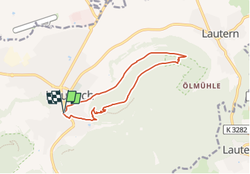

7,4 km | 10,7 km-effort

Tous les sentiers balisés d’Europe GUIDE+


Applicazione GPS da escursionismo GRATUITA
 SityTrail
IGN / Istituti geografici
SityTrail World
Il mondo è tuo
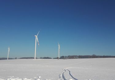
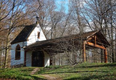
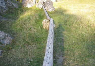
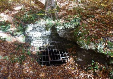
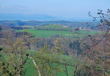
Percorso A piedi di 6,2 km da scoprire a Baden-Württemberg, Ostalbkreis, Heubach. Questo percorso è proposto da SityTrail - itinéraires balisés pédestres.
Sito web: https://www.glaubenswege.de/


A piedi
A piedi
A piedi
A piedi
A piedi
A piedi
A piedi
A piedi
A piedi