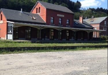
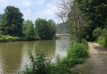
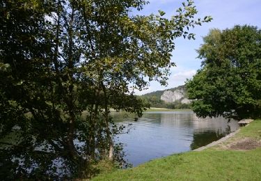
Percorso A piedi Hastière - Les Grottes du Pont d'Arcole - Photo

Les Grottes du Pont d'Arcole

Randonnées du CGT GUIDE+

© OpenStreetMap contributors
Lunghezza
Lunghezza
4,8 km
Altitudine massima
Altitudine massima
235 m
Dislivello positivo
Dislivello positivo
132 m
Km-Effort
Km-Effort  
6,6 km
Altitudine minima
Altitudine minima
96 m
Dislivello negativo
Dislivello negativo
137 m
Boucle
Boucle
Sì
Data di creazione :
2022-02-08 11:32:40.093
Ultima modifica :
2022-02-21 10:13:58.525

(1 Recensione)

A piedi
A piedi
1h29
Difficoltà : Facile

Scannerizza questo codice QR per aprire il percorso nell'applicazione SityTrail

Applicazione GPS da escursionismo GRATUITA

Logo SityTrail SityTrail

IGN / Istituti geografici

Scarica SityTrail dall'App Store Scarica SityTrail da Google Play

Logo SityTrail SityTrail World

Il mondo è tuo

Scarica SityTrail dall'App Store Scarica SityTrail da Google Play Scarica SityTrail da Huawei AppGallery

Chi siamo

Percorso A piedi di 4,8 km da scoprire a Wallonie, Namur, Hastière. Questo percorso è proposto da Commissariat général au Tourisme.

Descrizione

Trail created by Vallée de la Meuse Namur-Dinant.


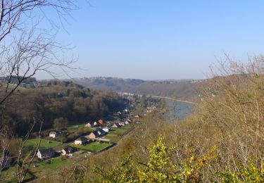
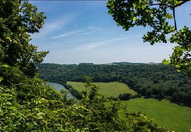
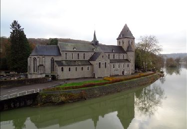
This 4.5 km walk will let you to have a look at the site of the old mill of Hastière, the dolomite rocks of Tahaut, the rock of the Sacred Heart as well as the cave of Notre-Dame de Lourdes. You will take the bridge over the Feron river and reach the caves of the Pont d'Arcole. You will admire the Feron gorges and continue to the hamlet of Inzemont. Further on, the path on the left descends towards the Crupet valley and reaches the Thylère castle before reaching the village.


Profilo altimetrico

Foto

Localizzazione

Paese:
Belgium
Regione :
Wallonie
Dipartimento/Provincia :
Namur
Comune :
Hastière
Località :
Unknown
Partenza:(Dec)
Partenza:(UTM)
630203 ; 5564359 (31U) N.

Commenti

Accedi per lasciare un commento o una valutazione


Percorsi nelle vicinanze

Percorso Marcia Hastière - Balade de Hastière à Waulsort - Photo
Marcia
GUIDE
Desrumaux

Marcia

Medio
(2)
Hastière, Wallonie, Namur, Belgium
10,8 km | 13,8 km-effort
3h 2min
Sì
Percorso Marcia Hastière - RB-Na-10 Raccourci 2 - Sur les crêtes mosanes - Photo
Marcia
PRO

Marcia

Facile
(2)
Hastière, Wallonie, Namur, Belgium
18,1 km | 25 km-effort
4h 29min
Sì
Percorso Marcia Hastière - RB-Na-10 Raccourci 1 - Sur les crêtes mosanes - Photo
Marcia
PRO

Marcia

Medio
(3)
Hastière, Wallonie, Namur, Belgium
15,3 km | 21 km-effort
5h 28min
Sì
Percorso Marcia Hastière - RB-Na-10 - Sur les crêtes mosanes - Photo
Marcia
PRO

Marcia

Medio
(5)
Hastière, Wallonie, Namur, Belgium
22 km | 29 km-effort
6h 21min
Sì
Percorso Marcia Hastière - Hastiere - Photo
Marcia
DoBelle

Marcia

Difficile
(1)
Hastière, Wallonie, Namur, Belgium
32 km | 41 km-effort
6h 22min
Sì
Percorso Marcia Hastière - Balade de Hastière à Hermeton - Photo
Marcia
GUIDE
Desrumaux

Marcia

Facile
(1)
Hastière, Wallonie, Namur, Belgium
13,1 km | 16,8 km-effort
3h 37min
Sì
Percorso Marcia Hastière - Waulsort - Circuit Natura 2000, des sites qui valent le détour - Na08 - Photo
Marcia
GUIDE+

Marcia

Molto facile
(4)
Hastière, Wallonie, Namur, Belgium
4,5 km | 6,9 km-effort
1h 40min
Sì
Percorso Marcia Doische - De Gochenee vers Soulme par la vallee de l'Ermeton - Photo
Marcia
GUIDE
Desrumaux

Marcia

Medio
(1)
Doische, Wallonie, Namur, Belgium
18,5 km | 24 km-effort
4h 40min
Sì
Percorso Marcia Onhaye - Balade entre Flavion et Molignée - Photo
Marcia
GUIDE
Desrumaux

Marcia

Facile
(5)
Onhaye, Wallonie, Namur, Belgium
13,3 km | 16,9 km-effort
3h 20min
Sì


Chiudi
I miei abbonamenti