


32 km | 40 km-effort

Utente


Applicazione GPS da escursionismo GRATUITA
 SityTrail
IGN / Istituti geografici
SityTrail World
Il mondo è tuo
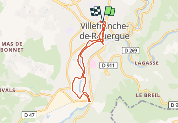
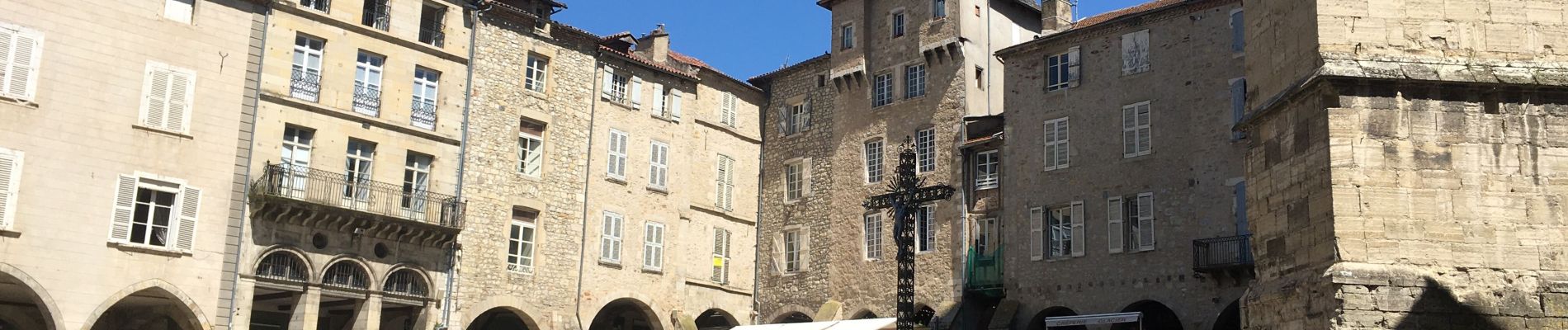
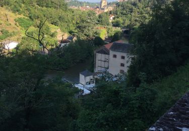
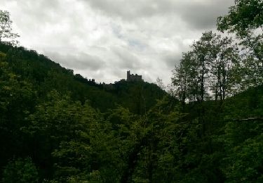
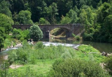
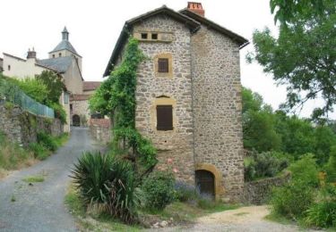
Percorso Marcia di 8,7 km da scoprire a Occitania, Aveyron, Villefranche-de-Rouergue. Questo percorso è proposto da richardsimopons.
De l’hôtel vers le sentier des patrimoines, excellent restaurant le « Jacques a dit » retour hotel.


Bici ibrida

Marcia
Bici da strada
Marcia
Marcia
Bicicletta
Bicicletta
Mountainbike
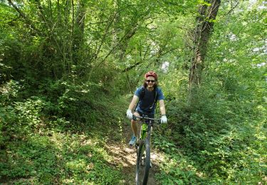
Mountainbike