9,3 km | 9,8 km-effort
w-overijssel-buiten-gebied-bathmen
gpstracks
Utente
Lunghezza
8,3 km
Altitudine massima
20 m
Dislivello positivo
43 m
Km-Effort
8,8 km
Altitudine minima
6 m
Dislivello negativo
43 m
Boucle
Sì
Data di creazione :
2014-12-10 00:00:00.0
Ultima modifica :
2014-12-10 00:00:00.0
--
Difficoltà : Sconosciuto
Applicazione GPS da escursionismo GRATUITA
Chi siamo
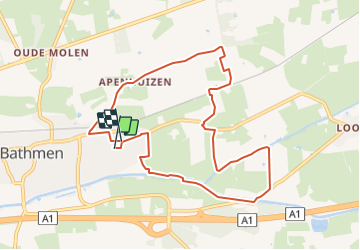
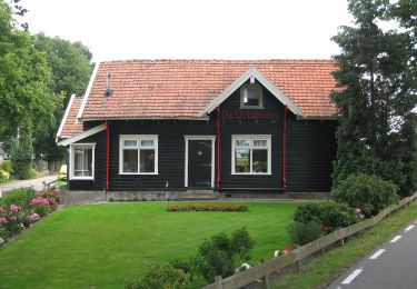
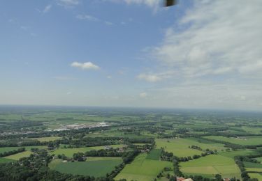
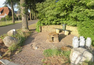
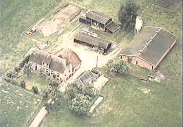
Percorso Marcia di 8,3 km da scoprire a Overijssel, Sconosciuto, Deventer. Questo percorso è proposto da gpstracks.
Descrizione
More information on GPStracks.nl : http://www.gpstracks.nl
Localizzazione
Paese:
Netherlands
Regione :
Overijssel
Dipartimento/Provincia :
Sconosciuto
Comune :
Deventer
Località :
Unknown
Partenza:(Dec)
Partenza:(UTM)
315614 ; 5792345 (32U) N.
Commenti
Percorsi nelle vicinanze
Kring van Dorth route
A piedi
Facile
Lochem,
Gelderland,
Sconosciuto,
Netherlands
15,9 km | 17,3 km-effort
3h 55min
Sì
Rondje Dortherbeek
A piedi
Facile
Lochem,
Gelderland,
Sconosciuto,
Netherlands
9,4 km | 10,1 km-effort
2h 17min
Sì
WNW Twente - Dijkerhoek - gele route
A piedi
Facile
Rijssen-Holten,
Overijssel,
Sconosciuto,
Netherlands
4,4 km | 4,6 km-effort
1h 2min
Sì
WNW Twente - Dijkerhoek - oranje route
A piedi
Facile
Rijssen-Holten,
Overijssel,
Sconosciuto,
Netherlands
9,3 km | 9,9 km-effort
2h 14min
Sì
WNW Twente - Dijkerhoek - blauwe route
A piedi
Facile
Rijssen-Holten,
Overijssel,
Sconosciuto,
Netherlands
9 km | 9,5 km-effort
2h 9min
Sì
WNW Twente - Dijkerhoek - groene route
A piedi
Facile
Rijssen-Holten,
Overijssel,
Sconosciuto,
Netherlands
9 km | 9,4 km-effort
2h 8min
Sì
WNW Salland - Lettele - oranje route
A piedi
Facile
Deventer,
Overijssel,
Sconosciuto,
Netherlands
5,6 km | 6 km-effort
1h 21min
Sì
WNW Salland - Oerdijk - groene route
A piedi
Facile
Deventer,
Overijssel,
Sconosciuto,
Netherlands
7,7 km | 8,4 km-effort
1h 54min
Sì