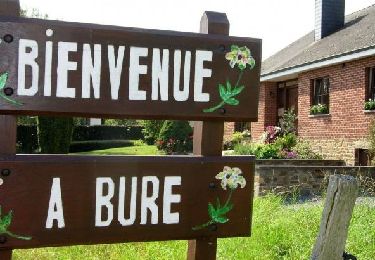
9,6 km | 11,9 km-effort
w-belgie-bure
gpstracks
Utente
Lunghezza
6,8 km
Altitudine massima
327 m
Dislivello positivo
153 m
Km-Effort
8,9 km
Altitudine minima
239 m
Dislivello negativo
159 m
Boucle
Sì
Data di creazione :
2014-12-10 00:00:00.0
Ultima modifica :
2014-12-10 00:00:00.0
--
Difficoltà : Sconosciuto
Applicazione GPS da escursionismo GRATUITA
Chi siamo
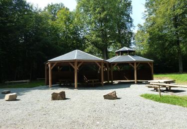
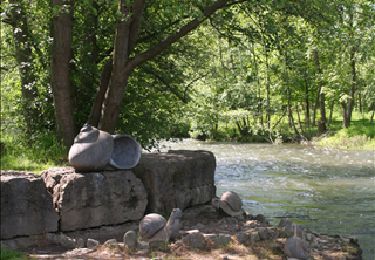
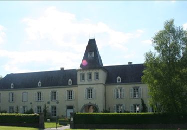
Percorso Marcia di 6,8 km da scoprire a Wallonie, Luxembourg, Tellin. Questo percorso è proposto da gpstracks.
Descrizione
More information on GPStracks.nl : http://www.gpstracks.nl
Localizzazione
Paese:
Belgium
Regione :
Wallonie
Dipartimento/Provincia :
Luxembourg
Comune :
Tellin
Località :
Bure
Partenza:(Dec)
Partenza:(UTM)
661660 ; 5550932 (31U) N.
Commenti
Percorsi nelle vicinanze
Tellin. Natura 2000, des sites qui valent le détour ! Lx 7
Marcia
Medio
(7)
Tellin,
Wallonie,
Luxembourg,
Belgium
1h 30min
Sì
Mirwart_Vieux Moulin de Mirwart_Alternative Forêt (SH29 bis)
Marcia
Difficile
(12)
Saint-Hubert,
Wallonie,
Luxembourg,
Belgium
10,8 km | 14,2 km-effort
3h 4min
Sì
Nature : Belvaux -Les Rouges-Gorges (the robins)
Marcia
Facile
(8)
Rochefort,
Wallonie,
Namur,
Belgium
6,5 km | 8,4 km-effort
1h 20min
Sì
Nature : Belvaux -Les Rouges-Gorges (the robins)
Marcia
Facile
(13)
Rochefort,
Wallonie,
Namur,
Belgium
5,8 km | 7,6 km-effort
1h 20min
Sì
GG-Lu-13_Grupont - Poix-Saint-Hubert
Marcia
Molto difficile
(3)
Tellin,
Wallonie,
Luxembourg,
Belgium
26 km | 34 km-effort
7h 23min
No
Balade à Grupont
Marcia
Facile
(1)
Tellin,
Wallonie,
Luxembourg,
Belgium
8,4 km | 11,9 km-effort
2h 33min
Sì
Nature : Belvaux -Les Rouges-Gorges (the robins)
Marcia
Facile
(3)
Rochefort,
Wallonie,
Namur,
Belgium
5,8 km | 7,6 km-effort
1h 20min
Sì
Bure - Promenade des chapelles
Marcia
Facile
(1)
Tellin,
Wallonie,
Luxembourg,
Belgium
4,5 km | 5,9 km-effort
1h 15min
Sì
Tellin - Promenade du trou des Lûtons
Marcia
Facile
(1)
Tellin,
Wallonie,
Luxembourg,
Belgium
5,2 km | 6,1 km-effort
1h 21min
Sì