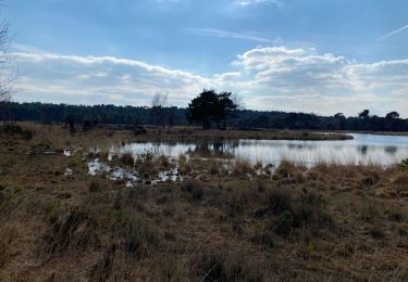
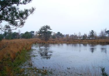
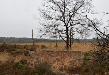
25 km | 27 km-effort
Belgie - wandeling kalmhoutse heide
gpstracks
Utente
Lunghezza
9,6 km
Altitudine massima
30 m
Dislivello positivo
54 m
Km-Effort
10,3 km
Altitudine minima
15 m
Dislivello negativo
56 m
Boucle
Sì
Data di creazione :
2014-12-10 00:00:00.0
Ultima modifica :
2014-12-10 00:00:00.0
--
Difficoltà : Sconosciuto
Applicazione GPS da escursionismo GRATUITA
Chi siamo
Percorso Marcia di 9,6 km da scoprire a Vlaanderen, Antwerpen, Kalmthout. Questo percorso è proposto da gpstracks.
Descrizione
More information on GPStracks.nl : http://www.gpstracks.nl
Localizzazione
Paese:
Belgium
Regione :
Vlaanderen
Dipartimento/Provincia :
Antwerpen
Comune :
Kalmthout
Località :
Kalmthout
Partenza:(Dec)
Partenza:(UTM)
600554 ; 5695549 (31U) N.
Commenti
Percorsi nelle vicinanze
Kalmthout bis 20 km
Marcia
Facile
Kalmthout,
Vlaanderen,
Antwerpen,
Belgium
20 km | 22 km-effort
5h 12min
Sì
Wandelpad Bos
A piedi
Facile
Kalmthout,
Vlaanderen,
Antwerpen,
Belgium
3,5 km | 3,9 km-effort
53min
Sì
Wandelpad Rups
A piedi
Facile
Kalmthout,
Vlaanderen,
Antwerpen,
Belgium
4,2 km | 4,6 km-effort
1h 2min
Sì
Wandelpad Libel
A piedi
Facile
Kalmthout,
Vlaanderen,
Antwerpen,
Belgium
4,6 km | 4,9 km-effort
1h 7min
Sì
Wandelpad Duin
A piedi
Facile
Kalmthout,
Vlaanderen,
Antwerpen,
Belgium
7,3 km | 7,9 km-effort
1h 48min
Sì
Wandelpad Schaap
A piedi
Facile
Kalmthout,
Vlaanderen,
Antwerpen,
Belgium
8,3 km | 9 km-effort
2h 3min
Sì
Wandelpad Ree
A piedi
Facile
Kalmthout,
Vlaanderen,
Antwerpen,
Belgium
7,7 km | 8,4 km-effort
1h 55min
Sì
Kalmthout 20 km
Marcia
Medio
Kalmthout,
Vlaanderen,
Antwerpen,
Belgium
19,9 km | 22 km-effort
5h 0min
Sì