Cunfin 2 SityTrail > Percorsi > Outdoor > France > Grande Est > Aube > Cunfin SityTrail > Percorsi > Outdoor > France > Grande Est > Aube > Cunfin Cunfin 2 genndor Utente 3D © OpenStreetMap contributors Lunghezza 20 km Altitudine massima 354 m Dislivello positivo 374 m Km-Effort 25 km Altitudine minima 214 m Dislivello negativo 373 m Boucle Sì Data di creazione : 2021-03-23 11:19:29.629 Ultima modifica : 2021-03-23 11:29:13.964 (0 Recensione) Marcia 5h44 Difficoltà : Molto difficile Applicazione GPS da escursionismo GRATUITA SityTrail IGN / Istituti geografici SityTrail World Il mondo è tuo Chi siamo 
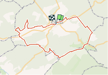
Percorso Marcia di 20 km da scoprire a Grande Est, Aube, Cunfin. Questo percorso è proposto da genndor. Legende | Maggiori dettagli (PDF) Profilo altimetrico Legende > 15% 15% - 10% 10% - 5% di piatto 5% - 10% 10% - 15% 15% - 30% > 30% Localizzazione Paese: France Regione : Grande Est Dipartimento/Provincia : Aube Comune : Cunfin Località : Unknown Partenza:(Dec) 48.041307688542425 / 4.668288230895997 Partenza:(UTM) 624346 ; 5322238 (31U) N. Commenti Accedi per lasciare un commento o una valutazione Percorsi nelle vicinanze tracegps Le Val Fontaine entre l'Aube, la Haute-Marne et la Côte d'Or Marcia Medio Cunfin, Grande Est, Aube, France 11 km | 14 km-effort 2h 15min Sì temmichel CUNFIN (Aube) Le Landion Marcia Difficile Cunfin, Grande Est, Aube, France 11,3 km | 14,4 km-effort 3h 16min Sì temmichel CUNFIN (10) - La grande Cystercienne Marcia Difficile Cunfin, Grande Est, Aube, France 13,7 km | 17,5 km-effort 3h 58min Sì