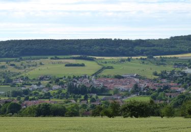
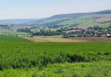
12,1 km | 15,5 km-effort
Rando sur Bey
ACPL
Utente
Lunghezza
16 km
Altitudine massima
285 m
Dislivello positivo
178 m
Km-Effort
18,3 km
Altitudine minima
202 m
Dislivello negativo
179 m
Boucle
Sì
Data di creazione :
2021-02-04 21:42:18.009
Ultima modifica :
2021-02-04 21:45:17.328
2h24
Difficoltà : Facile
Applicazione GPS da escursionismo GRATUITA
Chi siamo
Percorso Equitazione di 16 km da scoprire a Grande Est, Meurthe-et-Moselle, Bouxières-aux-Chênes. Questo percorso è proposto da ACPL.
Descrizione
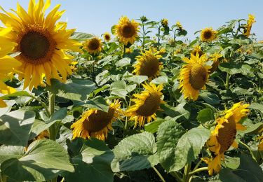
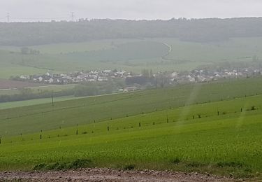
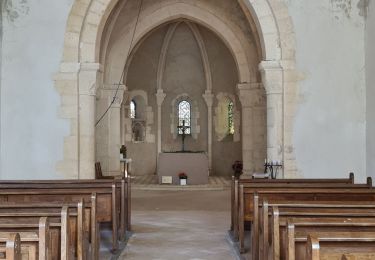
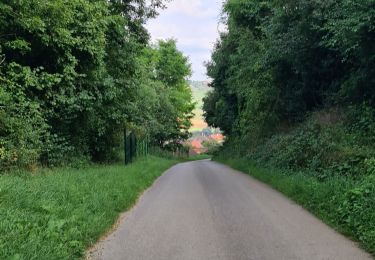
rando Audrey
Localizzazione
Paese:
France
Regione :
Grande Est
Dipartimento/Provincia :
Meurthe-et-Moselle
Comune :
Bouxières-aux-Chênes
Località :
Unknown
Partenza:(Dec)
Partenza:(UTM)
299811 ; 5406063 (32U) N.
Commenti
Percorsi nelle vicinanze
LEYR - LE PLATEAU DE LA ROCHETTE
Marcia
Facile
Leyr,
Grande Est,
Meurthe-et-Moselle,
France
5h 59min
Sì
MONTENOY - LE COL DE VASSUCHAMP
Marcia
Facile
Montenoy,
Grande Est,
Meurthe-et-Moselle,
France
12,4 km | 16,4 km-effort
4h 33min
Sì
2020-12-11_18h42m13_Eulmont_La tour du Crany_10kms
Marcia
Difficile
(1)
Eulmont,
Grande Est,
Meurthe-et-Moselle,
France
9,6 km | 12,6 km-effort
2h 51min
Sì
tour crany 29/5/2019
Marcia
Molto facile
(1)
Bouxières-aux-Chênes,
Grande Est,
Meurthe-et-Moselle,
France
11,1 km | 14 km-effort
3h 42min
Sì
bouxieres aux chênes - Blanzey
Marcia
Medio
Bouxières-aux-Chênes,
Grande Est,
Meurthe-et-Moselle,
France
12 km | 14,7 km-effort
19h 32min
Sì
bouxieres aux chênes - la tour de crany
Marcia
Facile
Bouxières-aux-Chênes,
Grande Est,
Meurthe-et-Moselle,
France
11,2 km | 14,2 km-effort
4h 52min
Sì
Circuit L : Variant Faulx
A piedi
Facile
Faulx,
Grande Est,
Meurthe-et-Moselle,
France
6,3 km | 6,9 km-effort
1h 34min
No
Leyr Villers les Moivrons
Marcia
Medio
Leyr,
Grande Est,
Meurthe-et-Moselle,
France
32 km | 42 km-effort
6h 38min
No
Leyr - plateau de la Rochette
Marcia
Facile
Leyr,
Grande Est,
Meurthe-et-Moselle,
France
11,8 km | 15,1 km-effort
6h 4min
Sì