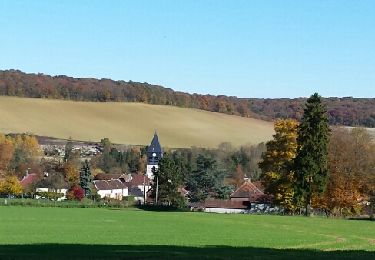
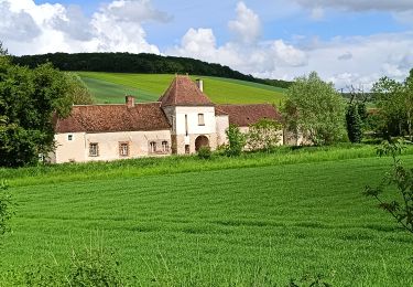
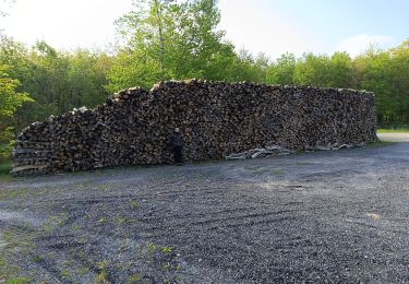
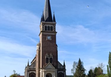
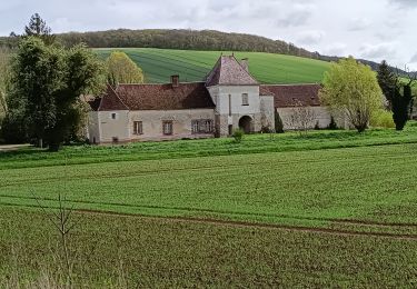
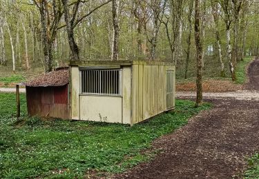
8,6 km | 10,5 km-effort
Bucey en Othe
bercle
Utente
Lunghezza
8,3 km
Altitudine massima
246 m
Dislivello positivo
148 m
Km-Effort
10,3 km
Altitudine minima
142 m
Dislivello negativo
144 m
Boucle
Sì
Data di creazione :
2021-02-02 09:42:24.0
Ultima modifica :
2021-02-02 11:39:49.414
1h56
Difficoltà : Sconosciuto
Applicazione GPS da escursionismo GRATUITA
Chi siamo
Percorso Camminata nordica di 8,3 km da scoprire a Grande Est, Aube, Bucey-en-Othe. Questo percorso è proposto da bercle.
Descrizione
La crête
Localizzazione
Paese:
France
Regione :
Grande Est
Dipartimento/Provincia :
Aube
Comune :
Bucey-en-Othe
Località :
Unknown
Partenza:(Dec)
Partenza:(UTM)
564026 ; 5345942 (31U) N.
Commenti
Percorsi nelle vicinanze
Le chemin du patrimoine du Valdreux
Marcia
Molto facile
(1)
Chennegy,
Grande Est,
Aube,
France
1h 57min
Sì
Vauchassis Eaux Puiseaux Auxon Joigny Javernant Vauchassis
Bicicletta elettrica
Facile
Vauchassis,
Grande Est,
Aube,
France
49 km | 57 km-effort
4h 26min
Sì
Macey Rotarienne 2024
Marcia
Medio
Macey,
Grande Est,
Aube,
France
15,6 km | 19,6 km-effort
4h 50min
Sì
Au dessus de BUCEY EN OTHE
Marcia
Medio
Bucey-en-Othe,
Grande Est,
Aube,
France
9 km | 11,1 km-effort
2h 44min
Sì
Randonnée Bucey 23 04 2024
Marcia
Difficile
Vauchassis,
Grande Est,
Aube,
France
10,5 km | 13,4 km-effort
3h 5min
Sì
Balade VAE Pays d Othe
Bicicletta elettrica
Molto facile
Vauchassis,
Grande Est,
Aube,
France
56 km | 66 km-effort
5h 15min
Sì
Bucey en Othe
Marcia
Difficile
Bucey-en-Othe,
Grande Est,
Aube,
France
10 km | 12,6 km-effort
3h 0min
Sì
Balade Forêt communale de Vauchassis
Marcia
Medio
Vauchassis,
Grande Est,
Aube,
France
7,5 km | 9,1 km-effort
2h 26min
Sì
Vauchassis Bercenay Vauchassis
Marcia
Difficile
Vauchassis,
Grande Est,
Aube,
France
10,3 km | 13 km-effort
3h 2min
Sì