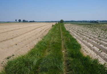
Percorso A piedi Chastre - #200810 - Blanmont Mont-St-Guibert et retour par l'Orne - Photo

#200810 - Blanmont Mont-St-Guibert et retour par l'Orne

© OpenStreetMap contributors
Lunghezza
Lunghezza
5,6 km
Altitudine massima
Altitudine massima
130 m
Dislivello positivo
Dislivello positivo
75 m
Km-Effort
Km-Effort  
6,6 km
Altitudine minima
Altitudine minima
86 m
Dislivello negativo
Dislivello negativo
73 m
Boucle
Boucle
Sì
Data di creazione :
2020-08-09 15:27:01.187
Ultima modifica :
2020-08-09 15:34:58.111

(0 Recensione)

A piedi
A piedi
1h30
Difficoltà : Molto facile

Scannerizza questo codice QR per aprire il percorso nell'applicazione SityTrail

Applicazione GPS da escursionismo GRATUITA

Logo SityTrail SityTrail

IGN / Istituti geografici

Scarica SityTrail dall'App Store Scarica SityTrail da Google Play

Logo SityTrail SityTrail World

Il mondo è tuo

Scarica SityTrail dall'App Store Scarica SityTrail da Google Play Scarica SityTrail da Huawei AppGallery

Chi siamo

Percorso A piedi di 5,6 km da scoprire a Wallonie, Brabant wallon, Chastre. Questo percorso è proposto da Randos Ouvertes.

Descrizione

Projet en cours

Profilo altimetrico

Punti di interesse

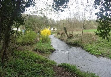
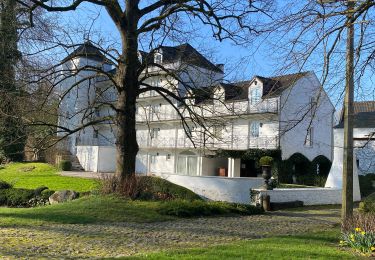
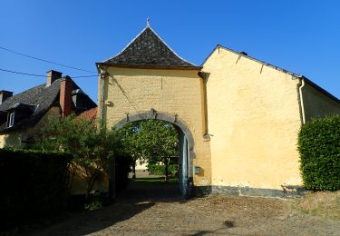
Punto di interesse Chastre - Vue nord sur jardin rue de Bau - Photo
Randos Ouvertes
Punto di interesse Walhain - Ruine de la Tour d'Alvau ou Tour des Sarrasins - Photo
Randos Ouvertes
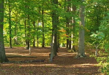
Punto di interesse Mont-Saint-Guibert - Vues nord et sud dans le chemin qui descend de la Colline de Penuel - Photo
Randos Ouvertes
MONT-SAINT-GUIBERT 
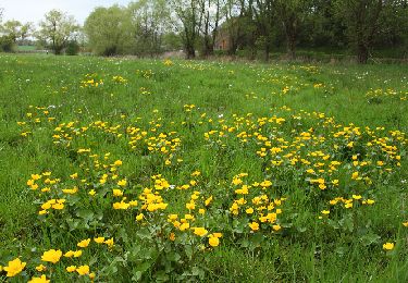
Punto di interesse Walhain - Vue sur l'Orne - Photo
Randos Ouvertes
Punto di interesse Mont-Saint-Guibert - Chapelle à l'entrée de la Rue d'Alvau - Photo
Randos Ouvertes
Punto di interesse Mont-Saint-Guibert - Vues de l'Orne depuis la Rue d'Alvau - Photo
Randos Ouvertes
MONT-SAINT-GUIBERT 
Punto di interesse Mont-Saint-Guibert - Vue vers la ligne 161 - Photo
Randos Ouvertes
MONT-SAINT-GUIBERT 
Punto di interesse Mont-Saint-Guibert - Vue sud-ouest à travers le tunnel sous la ligne 161 - Photo
Randos Ouvertes
Punto di interesse Chastre - Vue nord Rue Moulin Al Poudre - Photo
Randos Ouvertes
Punto di interesse Chastre - Vues du Moulin Al Poudre - Photo
Randos Ouvertes

Localizzazione

Paese:
Belgium
Regione :
Wallonie
Dipartimento/Provincia :
Brabant wallon
Comune :
Chastre
Località :
Chastre-Villeroux-Blanmont
Partenza:(Dec)
Partenza:(UTM)
616143 ; 5609205 (31U) N.

Percorsi nelle vicinanze

Percorso Marcia Mont-Saint-Guibert - Balade à Mont-Saint-Guibert - Photo
Marcia
GUIDE
Desrumaux

Marcia

Molto facile
(2)
Mont-Saint-Guibert, Wallonie, Brabant wallon, Belgium
8,4 km | 10,1 km-effort
2h 12min
Sì
Percorso Marcia Chastre - #240223a - Blanmont, Orne, Alvaux, Nil Pierreux*** - Photo
Marcia
Randos Ouvertes

Marcia

Medio
(1)
Chastre, Wallonie, Brabant wallon, Belgium
6,6 km | 7,8 km-effort
1h 47min
Sì
Percorso Marcia Chaumont-Gistoux - #231016 - Corroy-Le-Grand et le Val d'Ocquière*** (inversé court) - Photo
Marcia
Randos Ouvertes

Marcia

Medio
(2)
Chaumont-Gistoux, Wallonie, Brabant wallon, Belgium
6,2 km | 7,2 km-effort
1h 38min
Sì
Percorso Marcia Chastre - #230728 - Gentinnes Kongolo - Photo
Marcia
Randos Ouvertes

Marcia

Facile
(1)
Chastre, Wallonie, Brabant wallon, Belgium
5 km | 5,6 km-effort
1h 16min
Sì
Percorso A piedi Walhain - #170829 - Nil Pierreux, carrières de quartzite, Moulin d'Al Poudre et Tour des Sarrasins*** - Photo
A piedi
Randos Ouvertes

A piedi

Molto facile
(2)
Walhain, Wallonie, Brabant wallon, Belgium
8,1 km | 9,9 km-effort
2h 0min
Sì
Percorso Marcia Chastre - Promenade de Villeroux - Photo
Marcia
Chastre1450

Marcia

Medio
(1)
Chastre, Wallonie, Brabant wallon, Belgium
7,6 km | 8,5 km-effort
1h 53min
Sì
Percorso Marcia Chastre - Balade de la fontaine Saint Géry à Chastre - Photo
Marcia
GaetanHouart

Marcia

Medio
(1)
Chastre, Wallonie, Brabant wallon, Belgium
7,6 km | 8,6 km-effort
1h 53min
Sì
Percorso Marcia Mont-Saint-Guibert - L'Orne_Chateau de Bierbais - Photo
Marcia
calofrancis

Marcia

Facile
(2)
Mont-Saint-Guibert, Wallonie, Brabant wallon, Belgium
9,4 km | 11,5 km-effort
2h 28min
Sì
Percorso Marcia Gembloux - bgg - ernage bertinchamps gentines chastre perbais - Photo
Marcia
GUIDE
Charles Lemaire

Marcia

Difficile
Gembloux, Wallonie, Namur, Belgium
22 km | 24 km-effort
4h 36min
Sì


Chiudi
I miei abbonamenti