14,4 km | 22 km-effort
20140126_sentier _des_mulets
johann.holl
Utente
Lunghezza
14 km
Altitudine massima
1247 m
Dislivello positivo
723 m
Km-Effort
24 km
Altitudine minima
572 m
Dislivello negativo
723 m
Boucle
Sì
Data di creazione :
2014-12-10 00:00:00.0
Ultima modifica :
2022-04-22 23:55:22.885
4h51
Difficoltà : Molto facile
Applicazione GPS da escursionismo GRATUITA
Chi siamo
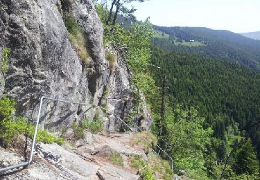
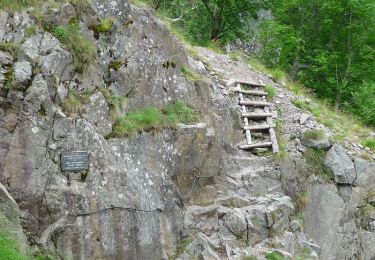
Percorso Marcia di 14 km da scoprire a Grande Est, Haut-Rhin, Stosswihr. Questo percorso è proposto da johann.holl.
Localizzazione
Paese:
France
Regione :
Grande Est
Dipartimento/Provincia :
Haut-Rhin
Comune :
Stosswihr
Località :
Unknown
Partenza:(Dec)
Partenza:(UTM)
355083 ; 5324134 (32U) N.
Commenti
Percorsi nelle vicinanze
Les Rochers des Hirschsteine - Lac Vert
Marcia
Difficile
(2)
Le Valtin,
Grande Est,
Vosges,
France
5h 2min
Sì
Le Sentier des Roches
Marcia
Difficile
(2)
Le Valtin,
Grande Est,
Vosges,
France
20 km | 34 km-effort
7h 43min
Sì
Tour du belvedere avec le passage sur les crêtes
Marcia
Molto facile
(3)
Stosswihr,
Grande Est,
Haut-Rhin,
France
8,5 km | 0 m-effort
2h 28min
Sì
Totom 4 lacs
Altra attività
Medio
(1)
Soultzeren,
Grande Est,
Haut-Rhin,
France
15,6 km | 26 km-effort
4h 37min
Sì
Les Hirschsteine
Marcia
Difficile
(1)
Le Valtin,
Grande Est,
Vosges,
France
16,1 km | 25 km-effort
6h 28min
Sì
Du Hohneck au Kastelberg par les Spietzkoepfe et le Sentier des Névées
Marcia
Molto difficile
(3)
La Bresse,
Grande Est,
Vosges,
France
7,6 km | 13,7 km-effort
3h 30min
Sì
Tour du Gaschney par le Sattel
Mountainbike
Difficile
(1)
Metzeral,
Grande Est,
Haut-Rhin,
France
25 km | 37 km-effort
2h 32min
Sì
Tanet-Gazon du faing par lac vert et retour sommet du Tanet
Marcia
Medio
(1)
Soultzeren,
Grande Est,
Haut-Rhin,
France
10 km | 15,6 km-effort
4h 24min
Sì
raquettes
Racchette da neve
Molto facile
(1)
Le Valtin,
Grande Est,
Vosges,
France
6,6 km | 9,4 km-effort
3h 8min
No