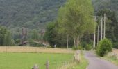

Boucle Marcourt, Beffe

LBarel
Utente

Lunghezza
9,8 km

Altitudine massima
364 m

Dislivello positivo
228 m

Km-Effort
12,8 km

Altitudine minima
192 m

Dislivello negativo
224 m
Boucle
Sì
Data di creazione :
2020-06-11 08:54:54.134
Ultima modifica :
2020-06-12 11:56:49.066
2h20
Difficoltà : Medio

Applicazione GPS da escursionismo GRATUITA
Chi siamo
Percorso Marcia di 9,8 km da scoprire a Wallonie, Luxembourg, Rendeux. Questo percorso è proposto da LBarel.
Descrizione
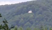
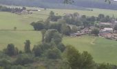
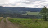
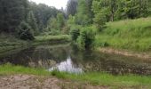
Départ du pont de Marcourt pour longer l'Ourthe en sous-bois et l'arboretum Robert Lenoir. Montée par l'étang d'Al Copète vers Beffe et le bois d'Arlogne. Beau panorama avant de redescendre vers Marcourt.
Localizzazione
Paese:
Belgium
Regione :
Wallonie
Dipartimento/Provincia :
Luxembourg
Comune :
Rendeux
Località :
Marcourt
Partenza:(Dec)
Partenza:(UTM)
679998 ; 5565729 (31U) N.
Commenti
Percorsi nelle vicinanze
RB-Lu-05 - Au gré de l’Ourthe, la balade des panoramas


Marcia
Molto difficile
(6)
La Roche-en-Ardenne,
Wallonie,
Luxembourg,
Belgium

23 km | 34 km-effort
7h 37min
Sì
Arboretum et Ourthe


Marcia
Medio
(4)
Rendeux,
Wallonie,
Luxembourg,
Belgium

9 km | 12 km-effort
3h 15min
Sì
hodister


Marcia
Facile
(1)
Rendeux,
Wallonie,
Luxembourg,
Belgium

8,8 km | 11,5 km-effort
3h 39min
Sì
promenade de lourthe


Marcia
Difficile
(3)
Rendeux,
Wallonie,
Luxembourg,
Belgium

8,1 km | 11 km-effort
2h 35min
Sì

Montaigu


Marcia
Facile
(2)
Rendeux,
Wallonie,
Luxembourg,
Belgium

5,5 km | 8 km-effort
Sconosciuto
Sì
De werpin a werpin via Trinal


Marcia
Facile
(1)
Hotton,
Wallonie,
Luxembourg,
Belgium

9,3 km | 12,4 km-effort
2h 38min
Sì

2024-07-29_09h57m47_gpxfile


sport
Molto facile
(1)
Hotton,
Wallonie,
Luxembourg,
Belgium

9,3 km | 13 km-effort
Sconosciuto
Sì

20221118 - TOTEMUS La Roche en Ardenne - 4 Km


Marcia
Facile
La Roche-en-Ardenne,
Wallonie,
Luxembourg,
Belgium

4 km | 5,9 km-effort
1h 49min
Sì
activity_8670328691


Mountainbike
Difficile
La Roche-en-Ardenne,
Wallonie,
Luxembourg,
Belgium

30 km | 41 km-effort
2h 48min
Sì


 SityTrail


