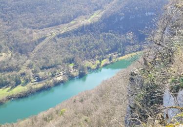
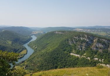
12,6 km | 16,4 km-effort
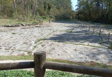
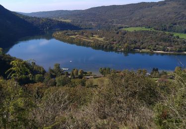
Rochers de Jarbonnet
drarep
Utente
Lunghezza
16,4 km
Altitudine massima
538 m
Dislivello positivo
650 m
Km-Effort
25 km
Altitudine minima
316 m
Dislivello negativo
653 m
Boucle
Sì
Data di creazione :
2019-10-15 19:59:14.137
Ultima modifica :
2019-10-29 20:54:05.925
4h46
Difficoltà : Medio
Applicazione GPS da escursionismo GRATUITA
Chi siamo
Percorso Marcia di 16,4 km da scoprire a Auvergne-Rhône-Alpes, Ain, Hautecourt-Romanèche. Questo percorso è proposto da drarep.
Localizzazione
Paese:
France
Regione :
Auvergne-Rhône-Alpes
Dipartimento/Provincia :
Ain
Comune :
Hautecourt-Romanèche
Località :
Unknown
Partenza:(Dec)
Partenza:(UTM)
688235 ; 5116754 (31T) N.
Commenti
Percorsi nelle vicinanze
Hautecourt
Sentiero
Facile
(1)
Hautecourt-Romanèche,
Auvergne-Rhône-Alpes,
Ain,
France
Sconosciuto
Sì
romaneche
Marcia
Molto difficile
Hautecourt-Romanèche,
Auvergne-Rhône-Alpes,
Ain,
France
13 km | 19,2 km-effort
5h 20min
Sì
2023-07-08_15h37m22_Romanèche MR projet 2023
sport
Molto facile
(1)
Hautecourt-Romanèche,
Auvergne-Rhône-Alpes,
Ain,
France
10,8 km | 15,7 km-effort
Sconosciuto
Sì
les crêtes du jardonnet de grand corrent
Marcia
Facile
Grand-Corent,
Auvergne-Rhône-Alpes,
Ain,
France
10,1 km | 15,5 km-effort
4h 42min
Sì
bonbois
Marcia
Facile
Matafelon-Granges,
Auvergne-Rhône-Alpes,
Ain,
France
10,3 km | 16,4 km-effort
3h 20min
Sì
Napt-mont Balvay
Marcia
Medio
Sonthonnax-la-Montagne,
Auvergne-Rhône-Alpes,
Ain,
France
12,8 km | 20 km-effort
3h 51min
Sì
romaneche
Marcia
Molto difficile
Hautecourt-Romanèche,
Auvergne-Rhône-Alpes,
Ain,
France
16 km | 23 km-effort
4h 5min
Sì
Serrières Leyssard
Marcia
Difficile
Serrières-sur-Ain,
Auvergne-Rhône-Alpes,
Ain,
France
16,6 km | 26 km-effort
4h 2min
Sì
Cize Roche de Jarbonnet Romaneche Grand corent
Marcia
Facile
Cize,
Auvergne-Rhône-Alpes,
Ain,
France
8,6 km | 13,2 km-effort
1h 55min
Sì