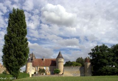
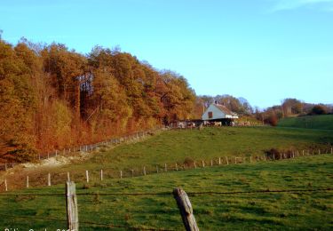
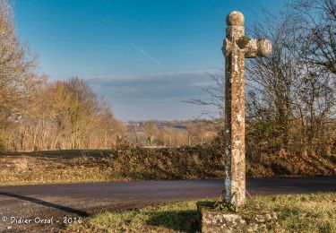
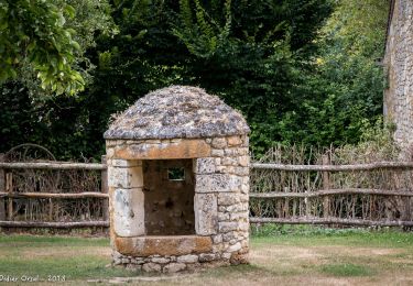
12 km | 14,1 km-effort
GEMAGES 22.60
Martine28240
Utente
Lunghezza
23 km
Altitudine massima
197 m
Dislivello positivo
389 m
Km-Effort
28 km
Altitudine minima
89 m
Dislivello negativo
391 m
Boucle
Sì
Data di creazione :
2019-05-05 05:41:16.914
Ultima modifica :
2019-10-15 16:37:06.542
5h00
Difficoltà : Medio
Applicazione GPS da escursionismo GRATUITA
Chi siamo
Percorso Marcia di 23 km da scoprire a Normandia, Orne, Val-au-Perche. Questo percorso è proposto da Martine28240.
Localizzazione
Paese:
France
Regione :
Normandia
Dipartimento/Provincia :
Orne
Comune :
Val-au-Perche
Località :
Unknown
Partenza:(Dec)
Partenza:(UTM)
323205 ; 5351739 (31U) N.
Commenti
Percorsi nelle vicinanze
La Chapelle Souef - Les Feugerets 12 Km
Marcia
Medio
(1)
La Chapelle-Souëf,
Normandia,
Orne,
France
3h 6min
Sì
Au fil de la Rosière 7,1 Km
Marcia
Medio
Saint-Cyr-la-Rosière,
Normandia,
Orne,
France
7,1 km | 8,7 km-effort
1h 57min
Sì
Gémages - Igé 15 km
Marcia
Facile
Val-au-Perche,
Normandia,
Orne,
France
14,7 km | 17,5 km-effort
7h 2min
No
Gémages - Igé via Appenai-sous-Bellême 17 km
Marcia
Facile
Val-au-Perche,
Normandia,
Orne,
France
16,7 km | 19,4 km-effort
55min
No
Gémages - Saint-Cyr-la-Rosière 11 km
Marcia
Facile
Val-au-Perche,
Normandia,
Orne,
France
11,2 km | 13,8 km-effort
2h 37min
No
Gémages - Le-Theil-sur-Huisne (Val-au-Perche) 9,3 km
Marcia
Facile
Val-au-Perche,
Normandia,
Orne,
France
9,3 km | 12,3 km-effort
2h 19min
No
La Croix de Lognonnet 9.2 Km
Marcia
Facile
Saint-Cyr-la-Rosière,
Normandia,
Orne,
France
9,2 km | 10,7 km-effort
2h 22min
Sì
Prieuré de Sainte-Gauburge - Saint-Aubin-des-Grois 5,7 km
Marcia
Facile
Saint-Cyr-la-Rosière,
Normandia,
Orne,
France
5,7 km | 6,6 km-effort
1h 17min
No
St Germain de la Coudre 18
Marcia
Medio
(1)
Saint-Germain-de-la-Coudre,
Normandia,
Orne,
France
18 km | 22 km-effort
4h 42min
Sì