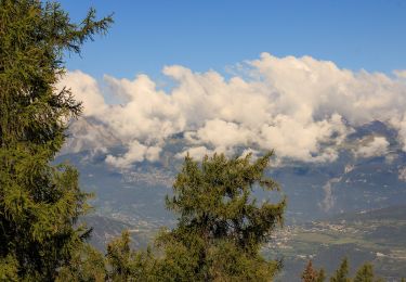
3,2 km | 6,2 km-effort
Vallon de Réchy supérieur: Col de Cou, Le Louché, Pas de Lovégno [loop/boucle/Rundwand.]
pnoth
Utente
Lunghezza
13,9 km
Altitudine massima
2699 m
Dislivello positivo
777 m
Km-Effort
24 km
Altitudine minima
1979 m
Dislivello negativo
776 m
Boucle
Sì
Data di creazione :
2014-12-11 00:00:00.0
Ultima modifica :
2014-12-11 00:00:00.0
--
Difficoltà : Sconosciuto
Applicazione GPS da escursionismo GRATUITA
Chi siamo
Percorso Altra attività di 13,9 km da scoprire a Vallese, Hérens, Mont-Noble. Questo percorso è proposto da pnoth.
Descrizione
English: http://www.noth.ch/h0129_e.html
Français: http://www.noth.ch/h0129_f.html
Deutsch: http://www.noth.ch/h0129_d.html
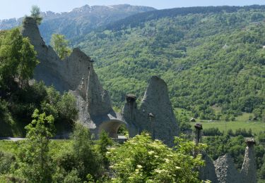
Localizzazione
Paese:
Switzerland
Regione :
Vallese
Dipartimento/Provincia :
Hérens
Comune :
Mont-Noble
Località :
Unknown
Partenza:(Dec)
Partenza:(UTM)
382085 ; 5117227 (32T) N.
Commenti
Percorsi nelle vicinanze
Euseigne - Hérémence
A piedi
Facile
Hérémence,
Vallese,
Hérens,
Switzerland
5,2 km | 9,7 km-effort
2h 12min
No
La Combe - Nax
A piedi
Facile
Mont-Noble,
Vallese,
Hérens,
Switzerland
6,3 km | 9,8 km-effort
2h 13min
No
Le Louché Lac - Col du Cou
A piedi
Facile
Mont-Noble,
Vallese,
Hérens,
Switzerland
3,7 km | 6,3 km-effort
1h 26min
No
Les Planards-L'Ar du Tsan
A piedi
Facile
Chalais,
Vallese,
Sierre,
Switzerland
4,8 km | 6,7 km-effort
1h 31min
No
Le Louché-L'Ar du Tsan Lac (A)
A piedi
Facile
Mont-Noble,
Vallese,
Hérens,
Switzerland
3,6 km | 5 km-effort
1h 8min
No
La Lé-refuge du Bisse
A piedi
Facile
Chalais,
Vallese,
Sierre,
Switzerland
3,2 km | 5 km-effort
1h 7min
No
L'Ar du Tsan - Le Louché Lac (B)
A piedi
Facile
Mont-Noble,
Vallese,
Hérens,
Switzerland
4,1 km | 8 km-effort
1h 49min
No
Crêt du Midi - Ar du Tsan- Bisse Vercorin
Marcia
Molto facile
(1)
Chalais,
Vallese,
Sierre,
Switzerland
11,4 km | 17 km-effort
3h 46min
No