


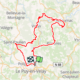

31 km | 41 km-effort

Utente


Applicazione GPS da escursionismo GRATUITA
 SityTrail
IGN / Istituti geografici
SityTrail World
Il mondo è tuo
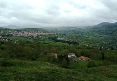
Percorso Bicicletta di 83 km da scoprire a Auvergne-Rhône-Alpes, Haute-Loire, Chadrac. Questo percorso è proposto da tracegps.
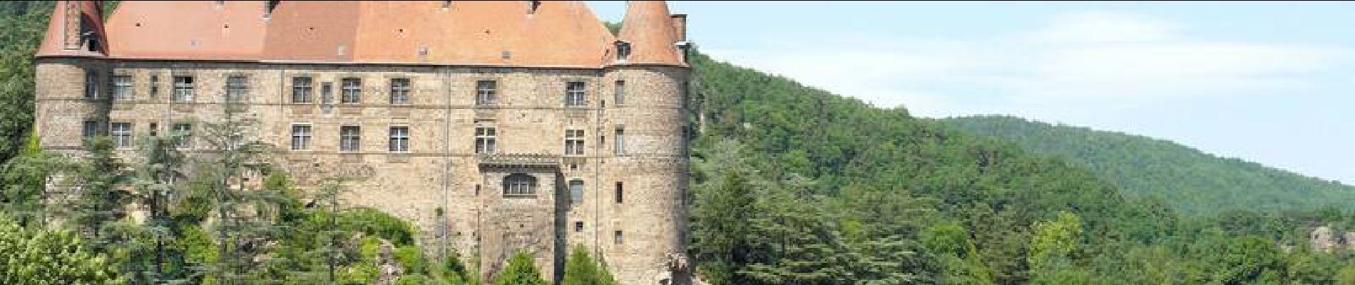
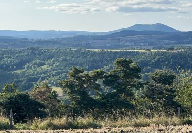
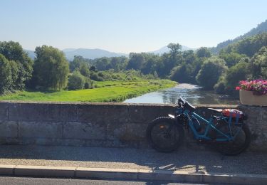
Départ de la mairie de Chadrac, cours de la Liberté. Le circuit permet de voir de beaux paysages et monuments de chaque coté de la Loire. Retrouvez le circuit sur le site de l'office de tourisme de Le Puy-en-Velay.


Marcia

Marcia

Marcia

Marcia
Marcia
Bicicletta elettrica
Marcia
Marcia
Marcia