22 km | 24 km-effort
THILOUZE
LEMENIO
Utente
Lunghezza
11,6 km
Altitudine massima
106 m
Dislivello positivo
94 m
Km-Effort
12,9 km
Altitudine minima
59 m
Dislivello negativo
94 m
Boucle
Sì
Data di creazione :
2014-12-10 00:00:00.0
Ultima modifica :
2014-12-10 00:00:00.0
2h35
Difficoltà : Sconosciuto
Applicazione GPS da escursionismo GRATUITA
Chi siamo
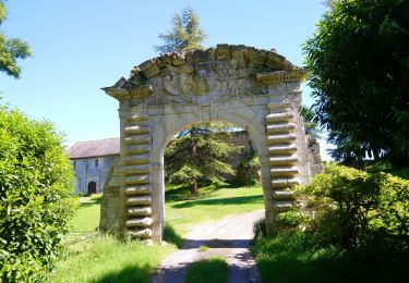
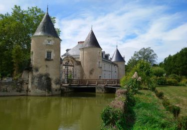
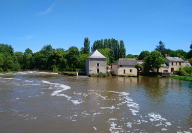
Percorso Marcia di 11,6 km da scoprire a Centro, Indre-et-Loire, Thilouze. Questo percorso è proposto da LEMENIO.
Descrizione
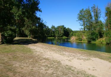
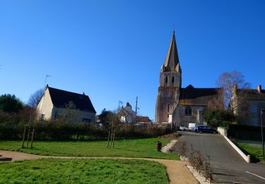
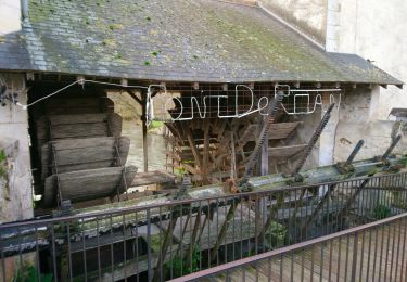
Départ : Place de l'église - le lavoir communal est en bas du village à 100 mètres où passe la rivière "la Thilouze".
Localizzazione
Paese:
France
Regione :
Centro
Dipartimento/Provincia :
Indre-et-Loire
Comune :
Thilouze
Località :
Unknown
Partenza:(Dec)
Partenza:(UTM)
316784 ; 5232852 (31T) N.
Commenti
Percorsi nelle vicinanze
Pont-de-Ruan - PR Sentier Balzacien - 21.6km 195m 4h35 (40mn) - 2023 11 29
Marcia
Facile
Pont-de-Ruan,
Centro,
Indre-et-Loire,
France
4h 35min
Sì
Saché - Goupillières - 14.8km 185m 3h40 - 2022 07 10
Marcia
Facile
Saché,
Centro,
Indre-et-Loire,
France
14,8 km | 17,3 km-effort
3h 40min
Sì
Pont-de-Ruan - Couteau - 14.1km 120m 3h15 - 2022 07 08
Marcia
Facile
Pont-de-Ruan,
Centro,
Indre-et-Loire,
France
14,1 km | 15,7 km-effort
3h 15min
Sì
Thilouze - PR Pont-de-Ruan GR46A PR Croix Maurice - 20.5km 200m 4h25 - 2022 0...
Marcia
Facile
Thilouze,
Centro,
Indre-et-Loire,
France
20 km | 23 km-effort
4h 25min
Sì
Monts - Ruisseau de Montison - 9km 95m 2h05 - 2020 09 06
Marcia
Facile
Monts,
Centro,
Indre-et-Loire,
France
9 km | 10,3 km-effort
2h 5min
Sì
Artannes-sur-Indre - les Mattés - 19.5km 260m 4h10 - 2020 05 18
Marcia
Facile
Artannes-sur-Indre,
Centro,
Indre-et-Loire,
France
19,5 km | 23 km-effort
4h 10min
Sì
Villeperdue - 5.6km 25m 1h00 - 2019 08 16
Marcia
Molto facile
Villeperdue,
Centro,
Indre-et-Loire,
France
5,6 km | 6 km-effort
1h 0min
Sì
Pont-de-Ruan - circuit 1 Thilouze - 15.7km 120m 2h45 - 2017 04 16
Marcia
Facile
Pont-de-Ruan,
Centro,
Indre-et-Loire,
France
15,7 km | 17,4 km-effort
2h 45min
Sì