


24 km | 33 km-effort

Utente


Applicazione GPS da escursionismo GRATUITA
 SityTrail
IGN / Istituti geografici
SityTrail World
Il mondo è tuo
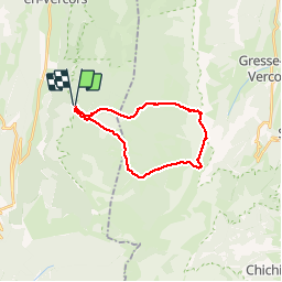
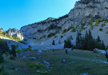
Percorso Marcia di 21 km da scoprire a Auvergne-Rhône-Alpes, Drôme, Saint-Agnan-en-Vercors. Questo percorso è proposto da choubaka77.
Superbe rando. Attention 6h sans les pauses. Une ascension physique mais sans difficulté majeure, attention, une descente rapide dans un première temps puis un long chemin très roulant pour le retour.


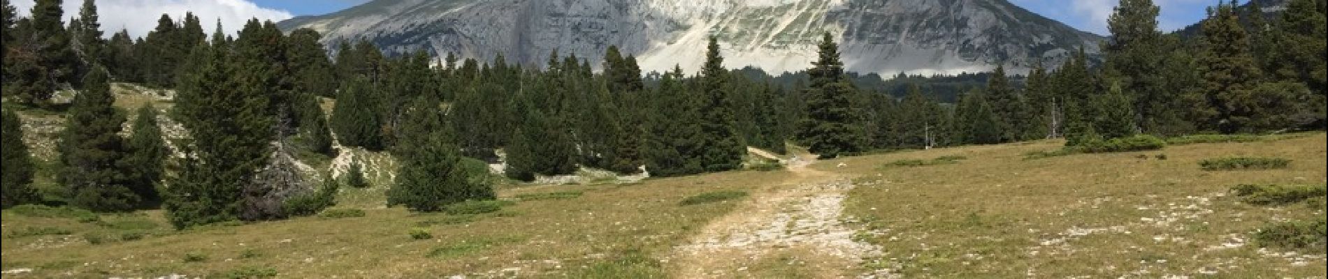
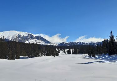
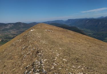
23 foto in totale. Fai clic su una foto per visualizzarle tutte nella galleria.

Marcia

Marcia

Marcia

Marcia

Racchette da neve
Marcia
Marcia
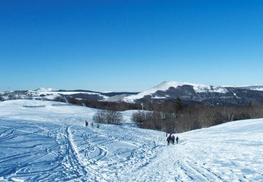
Racchette da neve
Marcia