


85 km | 103 km-effort
Gap: Scopri i migliori percorsi: 5 bicicletta, 12 bici da strada, 30 mountainbike, 1 cicloturismo e 2 bicicletta elettrica. Tutti questi percorsi, itinerari e attività outdoor sono disponibili nelle nostre app SityTrail per smartphone e tablet.
Bici da strada


Bici da strada
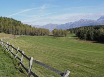
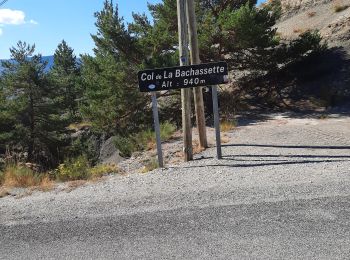
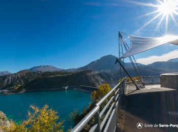
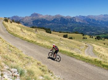
Mountainbike
• Une randonnée très agréable si vous cherchez surtout des chemins avec une belle vue. Au départ du Château de Charanc...
Mountainbike
• Pour changer de massif et de paysage, cette randonnée est vraiment intéressante : En partant du château de Charance, ...

Mountainbike
Bici da strada
Bici da strada
Bici da strada
Bici da strada
Bici da strada
Mountainbike
Bici da strada
Bicicletta elettrica
Mountainbike
Bicicletta
Mountainbike
Bici da strada
Bici da strada
Bicicletta elettrica
Mountainbike
20 percorsi visualizzati su 50
 SityTrail