


18,3 km | 25 km-effort
Utah: Scopri i migliori percorsi: 43 percorsi a piedi. Tutti questi percorsi, itinerari e attività outdoor sono disponibili nelle nostre app SityTrail per smartphone e tablet.
Marcia


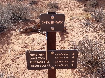
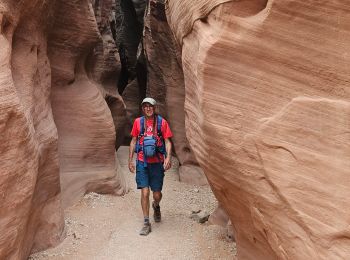
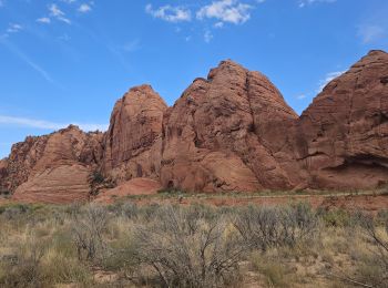
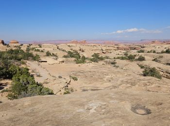
• Randonnée extraordinaire au coeur des Needles. A faire dans le sens anti-horaire.Moins difficile. Ne pas la faire par...
Marcia
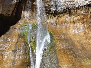
• Très belle balade avec à l'arrivée une superbe chute d'eau. 10.6 km AR
Marcia
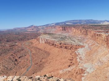
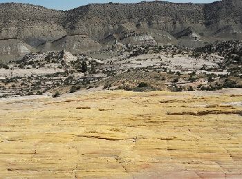
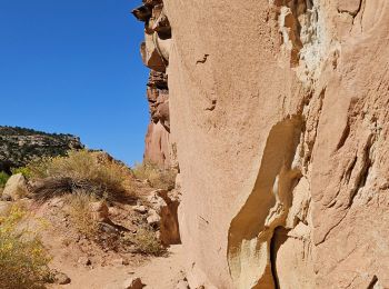
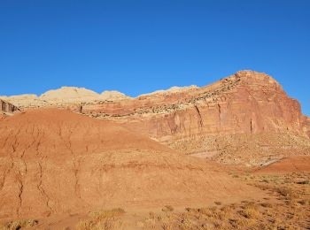
• Parcours magnifique au coeur de Capitol reef.Superbes vues tout le long.15 km AR. Le sommet est l'endroit idéal pour ...
Marcia
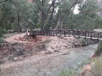
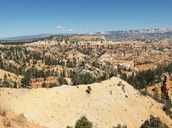
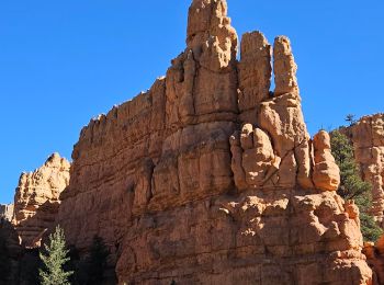
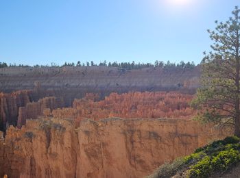
• C'est LA rando à faire à Zion. Splendide !!! Attention, sujet au vertige s'abstenir, la fin se fait sur une crête av...
Marcia
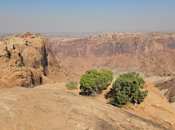
• Superbe
Marcia
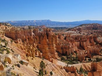
• MAGNIFIQUE !!!
Marcia
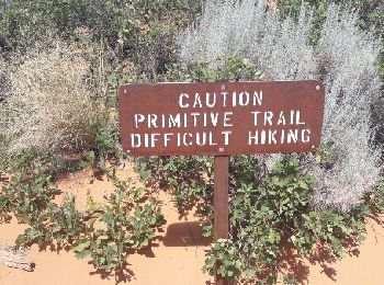
• superbe randonnée. faire le primitive trail à la descente.
Marcia
Marcia
Marcia
Marcia
Marcia
Marcia
Macchina
Marcia
Marcia
Marcia

Marcia
• rejoindre trailhezd Marlboro Point
Marcia
Marcia
20 percorsi visualizzati su 53
Applicazione GPS da escursionismo GRATUITA
 SityTrail
IGN / Istituti geografici
SityTrail World
Il mondo è tuo